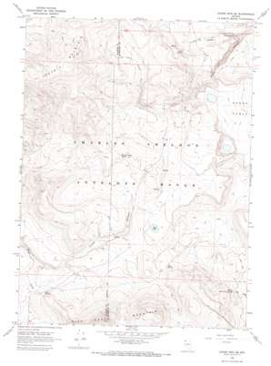
Catnip Mountain Se Topo Map Nevada
To zoom in, hover over the map of Catnip Mountain Se
USGS Topo Quad 41119g3 - 1:24,000 scale
| Topo Map Name: | Catnip Mountain Se |
| USGS Topo Quad ID: | 41119g3 |
| Print Size: | ca. 21 1/4" wide x 27" high |
| Southeast Coordinates: | 41.75° N latitude / 119.25° W longitude |
| Map Center Coordinates: | 41.8125° N latitude / 119.3125° W longitude |
| U.S. State: | NV |
| Filename: | o41119g3.jpg |
| Download Map JPG Image: | Catnip Mountain Se topo map 1:24,000 scale |
| Map Type: | Topographic |
| Topo Series: | 7.5´ |
| Map Scale: | 1:24,000 |
| Source of Map Images: | United States Geological Survey (USGS) |
| Alternate Map Versions: |
Catnip Mtn. SE NV 1966, updated 1969 Download PDF Buy paper map Catnip Mountain SE NV 2011 Download PDF Buy paper map Catnip Mountain SE NV 2015 Download PDF Buy paper map |
1:24,000 Topo Quads surrounding Catnip Mountain Se
> Back to 41119e1 at 1:100,000 scale
> Back to 41118a1 at 1:250,000 scale
> Back to U.S. Topo Maps home
Catnip Mountain Se topo map: Gazetteer
Catnip Mountain Se: Lakes
Mud Lake elevation 1883m 6177′Catnip Mountain Se: Springs
Fish Springs elevation 1854m 6082′Gooch Spring elevation 1876m 6154′
Horse Canyon Spring elevation 1889m 6197′
Mud Spring elevation 1904m 6246′
North Hell Creek Spring elevation 1860m 6102′
Catnip Mountain Se: Valleys
Horse Canyon elevation 1822m 5977′Little Echo Canyon elevation 1756m 5761′
Catnip Mountain Se digital topo map on disk
Buy this Catnip Mountain Se topo map showing relief, roads, GPS coordinates and other geographical features, as a high-resolution digital map file on DVD:


