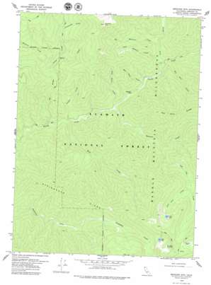
Medicine Mountain Topo Map California
To zoom in, hover over the map of Medicine Mountain
USGS Topo Quad 41123d3 - 1:24,000 scale
| Topo Map Name: | Medicine Mountain |
| USGS Topo Quad ID: | 41123d3 |
| Print Size: | ca. 21 1/4" wide x 27" high |
| Southeast Coordinates: | 41.375° N latitude / 123.25° W longitude |
| Map Center Coordinates: | 41.4375° N latitude / 123.3125° W longitude |
| U.S. State: | CA |
| Filename: | o41123d3.jpg |
| Download Map JPG Image: | Medicine Mountain topo map 1:24,000 scale |
| Map Type: | Topographic |
| Topo Series: | 7.5´ |
| Map Scale: | 1:24,000 |
| Source of Map Images: | United States Geological Survey (USGS) |
| Alternate Map Versions: |
Medicine Mtn CA 1978, updated 1979 Download PDF Buy paper map Medicine Mtn CA 1978, updated 1979 Download PDF Buy paper map Medicine Mountain CA 2012 Download PDF Buy paper map Medicine Mountain CA 2015 Download PDF Buy paper map |
| FStopo: | US Forest Service topo Medicine Mountain is available: Download FStopo PDF Download FStopo TIF |
1:24,000 Topo Quads surrounding Medicine Mountain
> Back to 41123a1 at 1:100,000 scale
> Back to 41122a1 at 1:250,000 scale
> Back to U.S. Topo Maps home
Medicine Mountain topo map: Gazetteer
Medicine Mountain: Lakes
Clear Lake elevation 1766m 5793′Lily Lake elevation 1828m 5997′
Lost Lake elevation 1734m 5688′
Medicine Mountain: Ridges
Steinacher Ridge elevation 1250m 4101′Medicine Mountain: Streams
Bear Skull Creek elevation 550m 1804′Big Medicine Creek elevation 678m 2224′
Bridge Creek elevation 403m 1322′
Canyon Creek elevation 437m 1433′
Dead Horse Creek elevation 499m 1637′
Halfmoon Creek elevation 819m 2687′
Hancock Creek elevation 498m 1633′
Hell Hole Creek elevation 594m 1948′
Little Medicine Creek elevation 650m 2132′
Lost Lake Creek elevation 1369m 4491′
North Fork Wooley Creek elevation 579m 1899′
Rock Creek elevation 431m 1414′
Salt Log Creek elevation 806m 2644′
Yellow Jacket Creek elevation 763m 2503′
Medicine Mountain: Summits
Medicine Mountain elevation 2077m 6814′Medicine Mountain: Valleys
Snowslide Gulch elevation 1088m 3569′Medicine Mountain digital topo map on disk
Buy this Medicine Mountain topo map showing relief, roads, GPS coordinates and other geographical features, as a high-resolution digital map file on DVD:


