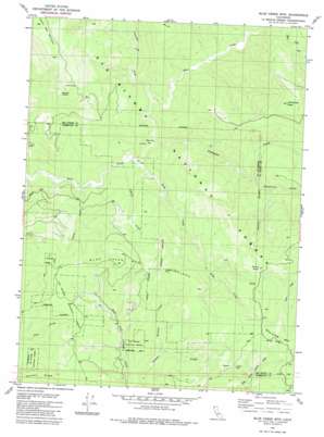
Blue Creek Mountain Topo Map California
To zoom in, hover over the map of Blue Creek Mountain
USGS Topo Quad 41123d7 - 1:24,000 scale
| Topo Map Name: | Blue Creek Mountain |
| USGS Topo Quad ID: | 41123d7 |
| Print Size: | ca. 21 1/4" wide x 27" high |
| Southeast Coordinates: | 41.375° N latitude / 123.75° W longitude |
| Map Center Coordinates: | 41.4375° N latitude / 123.8125° W longitude |
| U.S. State: | CA |
| Filename: | o41123d7.jpg |
| Download Map JPG Image: | Blue Creek Mountain topo map 1:24,000 scale |
| Map Type: | Topographic |
| Topo Series: | 7.5´ |
| Map Scale: | 1:24,000 |
| Source of Map Images: | United States Geological Survey (USGS) |
| Alternate Map Versions: |
Blue Creek Mtn CA 1982, updated 1982 Download PDF Buy paper map Blue Creek Mtn CA 1982, updated 1982 Download PDF Buy paper map Blue Creek Mountain CA 1997, updated 2001 Download PDF Buy paper map Blue Creek Mountain CA 2012 Download PDF Buy paper map Blue Creek Mountain CA 2015 Download PDF Buy paper map |
| FStopo: | US Forest Service topo Blue Creek Mountain is available: Download FStopo PDF Download FStopo TIF |
1:24,000 Topo Quads surrounding Blue Creek Mountain
> Back to 41123a1 at 1:100,000 scale
> Back to 41122a1 at 1:250,000 scale
> Back to U.S. Topo Maps home
Blue Creek Mountain topo map: Gazetteer
Blue Creek Mountain: Areas
Stevens Prairie elevation 968m 3175′Blue Creek Mountain: Flats
Bear Pen Flat elevation 172m 564′Blue Creek Mountain: Ridges
Blue Creek Mountain Ridge elevation 904m 2965′Pecwan Ridge elevation 960m 3149′
Blue Creek Mountain: Streams
Buzzard Creek elevation 730m 2395′Coyote Creek elevation 98m 321′
Crescent City Fork elevation 192m 629′
Indian Creek elevation 139m 456′
Nickowitz Creek elevation 165m 541′
Slide Creek elevation 165m 541′
Blue Creek Mountain: Summits
Barren Butte elevation 1326m 4350′Blue Creek Mountain elevation 1475m 4839′
Lookout Point elevation 1121m 3677′
Nickowitz Peak elevation 1222m 4009′
South Red Mountain elevation 1205m 3953′
Blue Creek Mountain: Valleys
Soapstone Gulch elevation 401m 1315′Blue Creek Mountain digital topo map on disk
Buy this Blue Creek Mountain topo map showing relief, roads, GPS coordinates and other geographical features, as a high-resolution digital map file on DVD:


