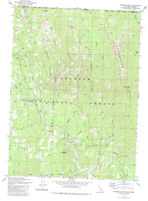
Deadman Point Topo Map California
To zoom in, hover over the map of Deadman Point
USGS Topo Quad 41123h4 - 1:24,000 scale
| Topo Map Name: | Deadman Point |
| USGS Topo Quad ID: | 41123h4 |
| Print Size: | ca. 21 1/4" wide x 27" high |
| Southeast Coordinates: | 41.875° N latitude / 123.375° W longitude |
| Map Center Coordinates: | 41.9375° N latitude / 123.4375° W longitude |
| U.S. States: | CA, OR |
| Filename: | o41123h4.jpg |
| Download Map JPG Image: | Deadman Point topo map 1:24,000 scale |
| Map Type: | Topographic |
| Topo Series: | 7.5´ |
| Map Scale: | 1:24,000 |
| Source of Map Images: | United States Geological Survey (USGS) |
| Alternate Map Versions: |
Deadman Point CA 1981, updated 1981 Download PDF Buy paper map Deadman Point CA 1981, updated 1981 Download PDF Buy paper map Deadman Point CA 1981, updated 1981 Download PDF Buy paper map Deadman Point CA 2001, updated 2004 Download PDF Buy paper map Deadman Point CA 2001, updated 2004 Download PDF Buy paper map Deadman Point CA 2012 Download PDF Buy paper map Deadman Point CA 2015 Download PDF Buy paper map |
| FStopo: | US Forest Service topo Deadman Point is available: Download FStopo PDF Download FStopo TIF |
1:24,000 Topo Quads surrounding Deadman Point
> Back to 41123e1 at 1:100,000 scale
> Back to 41122a1 at 1:250,000 scale
> Back to U.S. Topo Maps home
Deadman Point topo map: Gazetteer
Deadman Point: Mines
Blue Bar Mine elevation 537m 1761′Classic Hill Mine elevation 661m 2168′
County Mine elevation 559m 1833′
Huey Mine elevation 710m 2329′
Jade Mine elevation 561m 1840′
Munson Mine elevation 1570m 5150′
Rhodonite Mine elevation 1286m 4219′
Snowbrush Mine elevation 1343m 4406′
Wood Mine elevation 1128m 3700′
Deadman Point: Ridges
East Fork Ridge elevation 1508m 4947′Mill Creek Ridge elevation 1267m 4156′
Thompson Ridge elevation 1416m 4645′
Deadman Point: Springs
Cedar Spring elevation 1467m 4812′Deadman Point: Streams
Bald Hornet Creek elevation 472m 1548′Clauson Creek elevation 489m 1604′
Coon Run elevation 557m 1827′
Des Moines Creek elevation 889m 2916′
East Fork Indian Creek elevation 451m 1479′
Granite Creek elevation 791m 2595′
Green Creek elevation 885m 2903′
Mill Creek elevation 586m 1922′
Rhodonite Creek elevation 559m 1833′
South Fork Indian Creek elevation 450m 1476′
Sutcliffe Creek elevation 723m 2372′
West Branch Indian Creek elevation 615m 2017′
Deadman Point: Summits
Bare Mountain elevation 1790m 5872′Deadman Point elevation 885m 2903′
Spees Peak elevation 1763m 5784′
Deadman Point: Trails
Spees Peak Trail elevation 1288m 4225′Deadman Point: Valleys
Four Bit Gulch elevation 1140m 3740′Silver Gulch elevation 1072m 3517′
Swearingen Gulch elevation 500m 1640′
Tom Gray Gulch elevation 594m 1948′
Two Bit Gulch elevation 1181m 3874′
Wagner Gulch elevation 578m 1896′
Deadman Point digital topo map on disk
Buy this Deadman Point topo map showing relief, roads, GPS coordinates and other geographical features, as a high-resolution digital map file on DVD:


