Laurel Topo Map Nebraska
To zoom in, hover over the map of Laurel
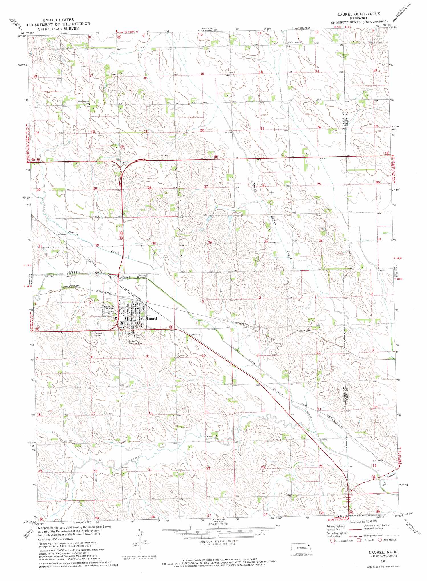
USGS Topo Quad 42097d1 - 1:24,000 scale
| Topo Map Name: | Laurel |
| USGS Topo Quad ID: | 42097d1 |
| Print Size: | ca. 21 1/4" wide x 27" high |
| Southeast Coordinates: | 42.375° N latitude / 97° W longitude |
| Map Center Coordinates: | 42.4375° N latitude / 97.0625° W longitude |
| U.S. State: | NE |
| Filename: | O42097D1.jpg |
| Download Map JPG Image: | Laurel topo map 1:24,000 scale |
| Map Type: | Topographic |
| Topo Series: | 7.5´ |
| Map Scale: | 1:24,000 |
| Source of Map Images: | United States Geological Survey (USGS) |
| Alternate Map Versions: |
Laurel NE 1971, updated 1973 Download PDF Buy paper map Laurel NE 2011 Download PDF Buy paper map Laurel NE 2014 Download PDF Buy paper map |
1:24,000 Topo Quads surrounding Laurel
Fordyce |
Wynot |
Obert |
Maskell |
Burbank |
Hartington |
Coleridge |
Coleridge Se |
Martinsburg Sw |
Martinsburg |
Randolph North |
Belden |
Laurel |
Concord |
Allen |
Randolph South |
Carroll |
Laurel Se |
Wakefield Sw |
Wakefield |
Norfolk Ne |
Winside |
Wayne |
Altona Nw |
Altona Ne |
> Back to 42097a1 at 1:100,000 scale
> Back to 42096a1 at 1:250,000 scale
> Back to U.S. Topo Maps home
Laurel topo map: Gazetteer
Laurel: Airports
Laurel Municipal Airport elevation 446m 1463′Laurel: Parks
Laurel City Park elevation 450m 1476′Laurel Lions Club Park elevation 450m 1476′
Laurel: Populated Places
Laurel elevation 450m 1476′Laurel: Post Offices
Laurel Post Office elevation 449m 1473′Laurel: Streams
Baker Creek elevation 439m 1440′Middle Logan Creek elevation 445m 1459′
Perrin Creek elevation 445m 1459′
Laurel digital topo map on disk
Buy this Laurel topo map showing relief, roads, GPS coordinates and other geographical features, as a high-resolution digital map file on DVD: