Boiling Spring Topo Map Nebraska
To zoom in, hover over the map of Boiling Spring
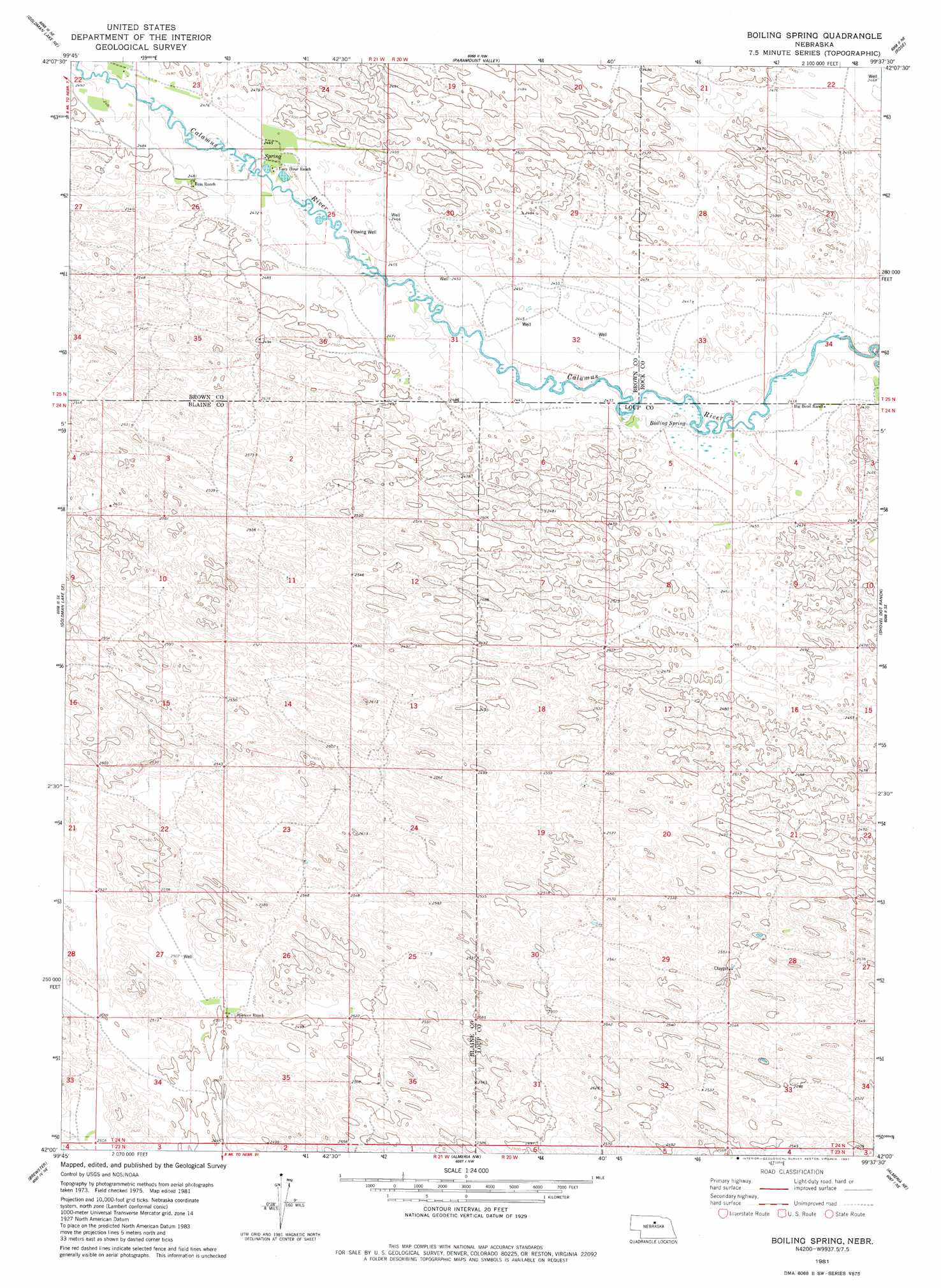
USGS Topo Quad 42099a6 - 1:24,000 scale
| Topo Map Name: | Boiling Spring |
| USGS Topo Quad ID: | 42099a6 |
| Print Size: | ca. 21 1/4" wide x 27" high |
| Southeast Coordinates: | 42° N latitude / 99.625° W longitude |
| Map Center Coordinates: | 42.0625° N latitude / 99.6875° W longitude |
| U.S. State: | NE |
| Filename: | O42099A6.jpg |
| Download Map JPG Image: | Boiling Spring topo map 1:24,000 scale |
| Map Type: | Topographic |
| Topo Series: | 7.5´ |
| Map Scale: | 1:24,000 |
| Source of Map Images: | United States Geological Survey (USGS) |
| Alternate Map Versions: |
Boiling Spring NE 1981, updated 1981 Download PDF Buy paper map Boiling Spring NE 2011 Download PDF Buy paper map Boiling Spring NE 2014 Download PDF Buy paper map |
1:24,000 Topo Quads surrounding Boiling Spring
Raven Sw |
Raven |
Hagan Lake |
Lake George |
Stockdale Lake |
Goldman Lake Nw |
Goldman Lake Ne |
Paramount Valley |
Rose |
Stonehouse Ranch Nw |
Goldman Lake |
Goldman Lake Se |
Boiling Spring |
Shovel Dot Ranch |
Stonehouse Ranch Sw |
Brewster Nw |
Brewster |
Almeria Nw |
Almeria Ne |
Taylor Nw |
Brewster Sw |
Brewster Se |
Almeria Sw |
Almeria |
Taylor |
> Back to 42099a1 at 1:100,000 scale
> Back to 42098a1 at 1:250,000 scale
> Back to U.S. Topo Maps home
Boiling Spring digital topo map on disk
Buy this Boiling Spring topo map showing relief, roads, GPS coordinates and other geographical features, as a high-resolution digital map file on DVD: