Spoon Butte Sw Topo Map Wyoming
To zoom in, hover over the map of Spoon Butte Sw
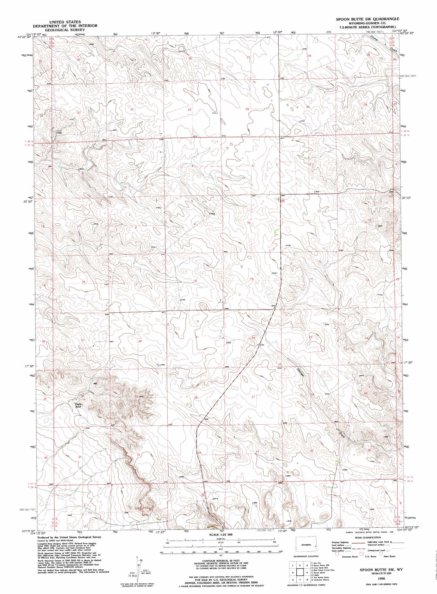
USGS Topo Quad 42104c2 - 1:24,000 scale
| Topo Map Name: | Spoon Butte Sw |
| USGS Topo Quad ID: | 42104c2 |
| Print Size: | ca. 21 1/4" wide x 27" high |
| Southeast Coordinates: | 42.25° N latitude / 104.125° W longitude |
| Map Center Coordinates: | 42.3125° N latitude / 104.1875° W longitude |
| U.S. State: | WY |
| Filename: | o42104c2.jpg |
| Download Map JPG Image: | Spoon Butte Sw topo map 1:24,000 scale |
| Map Type: | Topographic |
| Topo Series: | 7.5´ |
| Map Scale: | 1:24,000 |
| Source of Map Images: | United States Geological Survey (USGS) |
| Alternate Map Versions: |
Spoon Butte SW WY 1974, updated 1978 Download PDF Buy paper map Spoon Butte SW WY 1974, updated 1993 Download PDF Buy paper map Spoon Butte SW WY 1990, updated 1995 Download PDF Buy paper map Spoon Butte SW WY 2012 Download PDF Buy paper map Spoon Butte SW WY 2015 Download PDF Buy paper map |
1:24,000 Topo Quads surrounding Spoon Butte Sw
Rawhide Buttes East |
Hileman Draw |
Prairie Center |
Van Tassell Se |
Harrison Sw |
Jay Em Nw |
Jay Em |
Spoon Butte Nw |
Lone Sand Hill |
Agate Nw |
Red Cloud Creek West |
Red Cloud Creek East |
Spoon Butte Sw |
Spoon Butte |
Agate Sw |
Barnes |
Lingle |
Teakettle Rock |
Carpenter Ranch |
Chalk Buttes |
Habig Spring |
Cottier |
Torrington |
Torrington Se |
Dry Sheep Creek |
> Back to 42104a1 at 1:100,000 scale
> Back to 42104a1 at 1:250,000 scale
> Back to U.S. Topo Maps home
Spoon Butte Sw digital topo map on disk
Buy this Spoon Butte Sw topo map showing relief, roads, GPS coordinates and other geographical features, as a high-resolution digital map file on DVD:
Eastern Wyoming & Western South Dakota
Buy digital topo maps: Eastern Wyoming & Western South Dakota