Kirtley Sw Topo Map Wyoming
To zoom in, hover over the map of Kirtley Sw
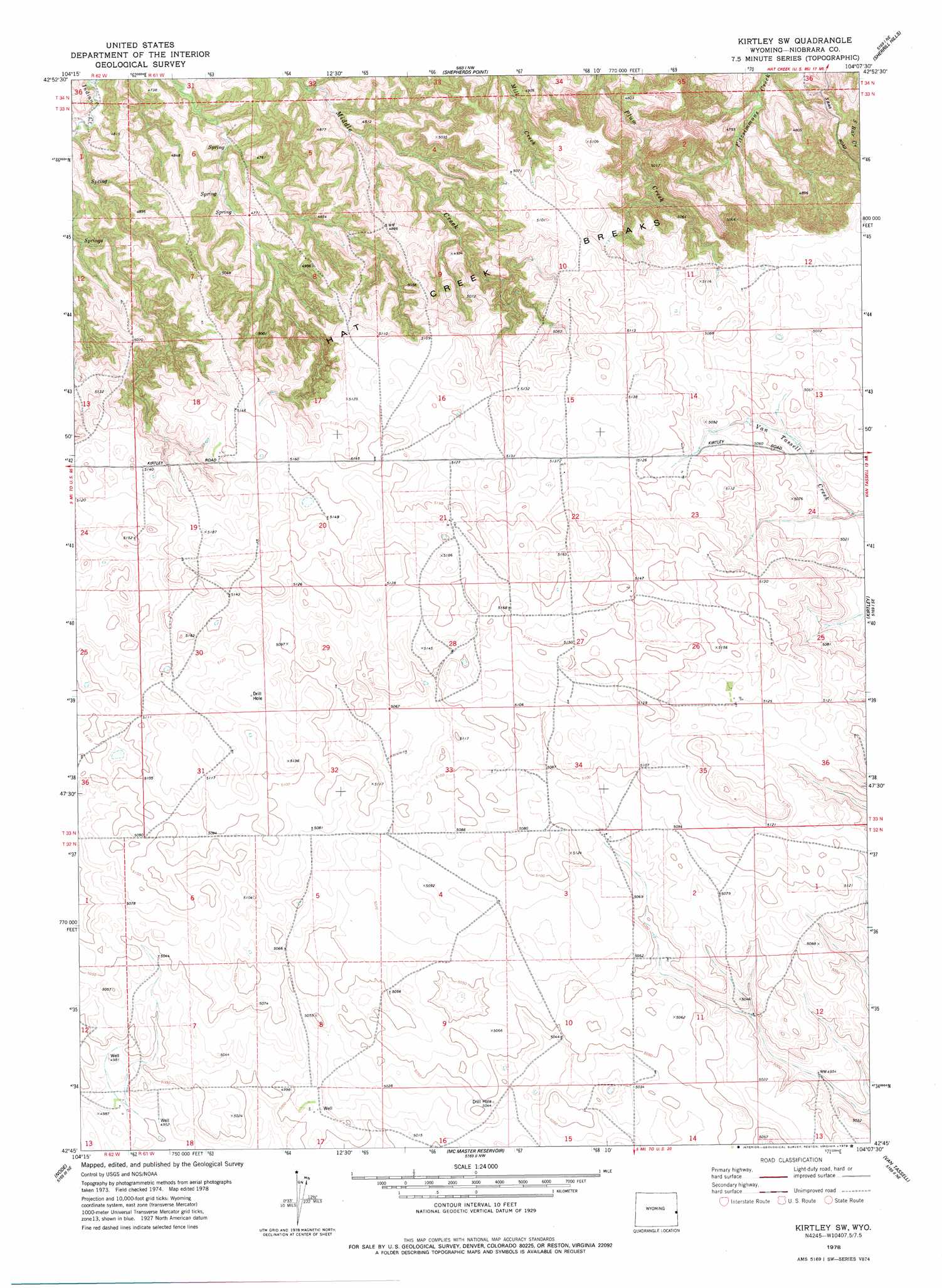
USGS Topo Quad 42104g2 - 1:24,000 scale
| Topo Map Name: | Kirtley Sw |
| USGS Topo Quad ID: | 42104g2 |
| Print Size: | ca. 21 1/4" wide x 27" high |
| Southeast Coordinates: | 42.75° N latitude / 104.125° W longitude |
| Map Center Coordinates: | 42.8125° N latitude / 104.1875° W longitude |
| U.S. State: | WY |
| Filename: | o42104g2.jpg |
| Download Map JPG Image: | Kirtley Sw topo map 1:24,000 scale |
| Map Type: | Topographic |
| Topo Series: | 7.5´ |
| Map Scale: | 1:24,000 |
| Source of Map Images: | United States Geological Survey (USGS) |
| Alternate Map Versions: |
Kirtley SW WY 1978, updated 1979 Download PDF Buy paper map Kirtley SW WY 2012 Download PDF Buy paper map Kirtley SW WY 2015 Download PDF Buy paper map |
1:24,000 Topo Quads surrounding Kirtley Sw
Telephone Draw |
Coyote Gap |
South Oat Creek |
Oat Creek |
Wallace Ranch |
Hat Rock |
Hat Creek |
Shepherds Point |
Sherrill Hills |
Story |
Lusk |
Signature Rock |
Kirtley Sw |
Kirtley |
Warbonnet Ranch |
Reynolds Spring |
Node |
Mcmaster Reservoir |
Van Tassell |
Harrison West |
Rawhide Buttes East |
Hileman Draw |
Prairie Center |
Van Tassell Se |
Harrison Sw |
> Back to 42104e1 at 1:100,000 scale
> Back to 42104a1 at 1:250,000 scale
> Back to U.S. Topo Maps home
No gazetteer data is available for the Kirtley Sw topo map sheet.
Kirtley Sw digital topo map on disk
Buy this Kirtley Sw topo map showing relief, roads, GPS coordinates and other geographical features, as a high-resolution digital map file on DVD:
Eastern Wyoming & Western South Dakota
Buy digital topo maps: Eastern Wyoming & Western South Dakota