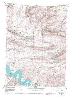
Schneider Ridge Topo Map Wyoming
To zoom in, hover over the map of Schneider Ridge
USGS Topo Quad 42106a6 - 1:24,000 scale
| Topo Map Name: | Schneider Ridge |
| USGS Topo Quad ID: | 42106a6 |
| Print Size: | ca. 21 1/4" wide x 27" high |
| Southeast Coordinates: | 42° N latitude / 106.625° W longitude |
| Map Center Coordinates: | 42.0625° N latitude / 106.6875° W longitude |
| U.S. State: | WY |
| Filename: | o42106a6.jpg |
| Download Map JPG Image: | Schneider Ridge topo map 1:24,000 scale |
| Map Type: | Topographic |
| Topo Series: | 7.5´ |
| Map Scale: | 1:24,000 |
| Source of Map Images: | United States Geological Survey (USGS) |
| Alternate Map Versions: |
Schneider Ridge WY 1953, updated 1955 Download PDF Buy paper map Schneider Ridge WY 2012 Download PDF Buy paper map Schneider Ridge WY 2015 Download PDF Buy paper map |
1:24,000 Topo Quads surrounding Schneider Ridge
> Back to 42106a1 at 1:100,000 scale
> Back to 42106a1 at 1:250,000 scale
> Back to U.S. Topo Maps home
Schneider Ridge topo map: Gazetteer
Schneider Ridge: Ridges
Schneider Ridge elevation 2150m 7053′Schneider Ridge: Springs
Tennant Spring elevation 2229m 7312′Schneider Ridge: Streams
Bull Creek elevation 2288m 7506′Caton Creek elevation 2022m 6633′
Corral Creek elevation 2089m 6853′
East Bull Creek elevation 2355m 7726′
East Fork Thomas Creek elevation 2174m 7132′
South Beaver Creek elevation 2222m 7290′
Spring Creek elevation 2049m 6722′
Thomas Creek elevation 2083m 6833′
West Bull Creek elevation 2354m 7723′
Schneider Ridge: Valleys
Case Canyon elevation 2224m 7296′Cottonwood Draw elevation 1943m 6374′
Schoolhouse Draw elevation 2101m 6893′
Schneider Ridge digital topo map on disk
Buy this Schneider Ridge topo map showing relief, roads, GPS coordinates and other geographical features, as a high-resolution digital map file on DVD:
Eastern Wyoming & Western South Dakota
Buy digital topo maps: Eastern Wyoming & Western South Dakota


