Blue Hill Topo Map Idaho
To zoom in, hover over the map of Blue Hill
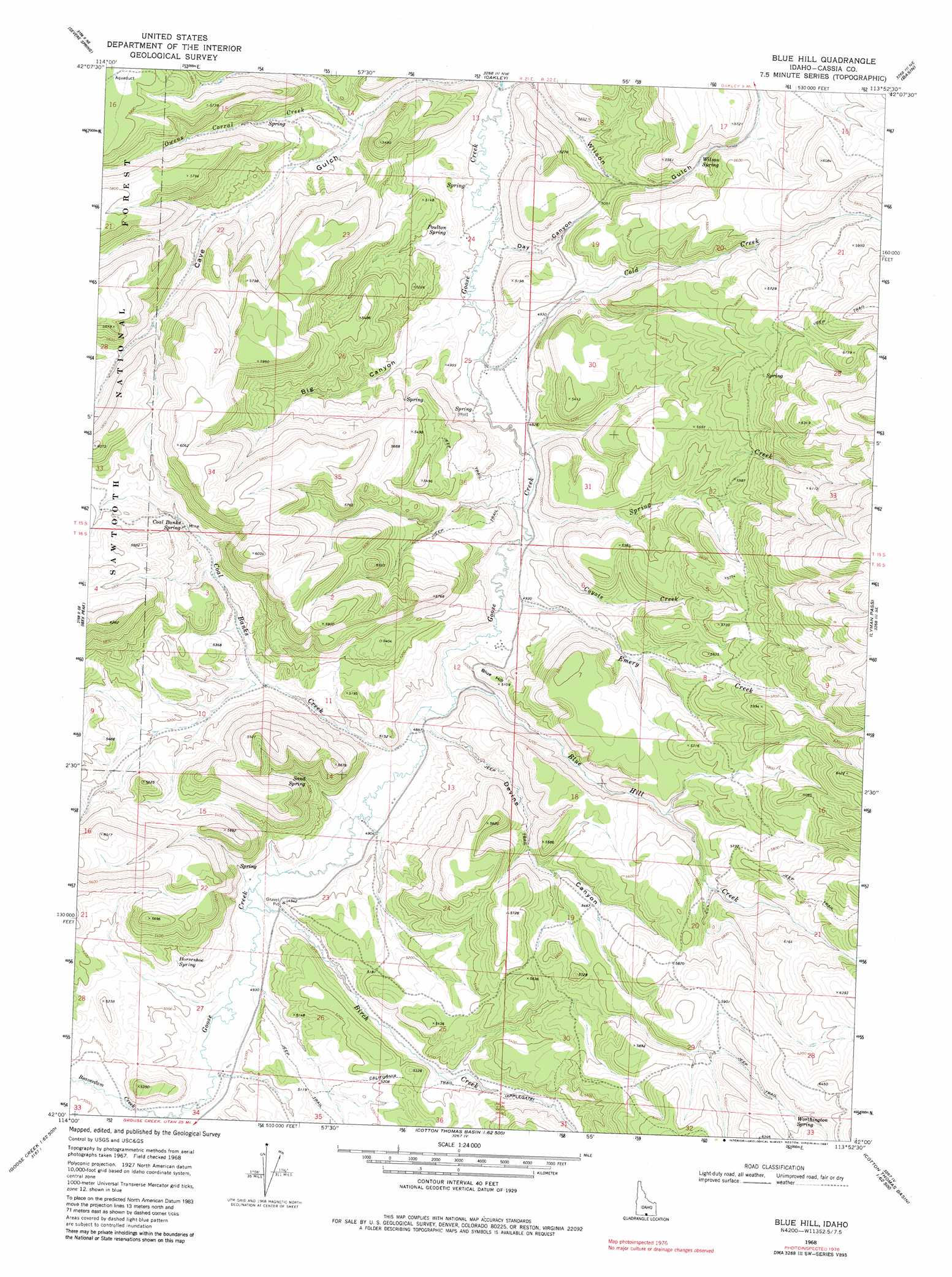
USGS Topo Quad 42113a8 - 1:24,000 scale
| Topo Map Name: | Blue Hill |
| USGS Topo Quad ID: | 42113a8 |
| Print Size: | ca. 21 1/4" wide x 27" high |
| Southeast Coordinates: | 42° N latitude / 113.875° W longitude |
| Map Center Coordinates: | 42.0625° N latitude / 113.9375° W longitude |
| U.S. State: | ID |
| Filename: | o42113a8.jpg |
| Download Map JPG Image: | Blue Hill topo map 1:24,000 scale |
| Map Type: | Topographic |
| Topo Series: | 7.5´ |
| Map Scale: | 1:24,000 |
| Source of Map Images: | United States Geological Survey (USGS) |
| Alternate Map Versions: |
Blue Hill ID 1968, updated 1972 Download PDF Buy paper map Blue Hill ID 1968, updated 1981 Download PDF Buy paper map Blue Hill ID 2001, updated 2006 Download PDF Buy paper map Blue Hill ID 2011 Download PDF Buy paper map Blue Hill ID 2013 Download PDF Buy paper map |
| FStopo: | US Forest Service topo Blue Hill is available: Download FStopo PDF Download FStopo TIF |
1:24,000 Topo Quads surrounding Blue Hill
Rams Horn Ridge |
Buckhorn Canyon |
Marion |
Marion Se |
Mount Harrison |
Trapper Peak |
Severe Spring |
Oakley |
Basin |
Cache Peak |
Mahogany Butte |
Ibex Peak |
Blue Hill |
Lyman Pass |
Almo |
Fivemile Gulch |
Nile Spring |
Pole Creek |
Cotton Thomas Basin |
Buck Hollow |
Cedar Mountain Draw |
Judd Mountain |
Dry Canyon Mountain |
Kimbell Creek |
Lynn Reservoir |
> Back to 42113a1 at 1:100,000 scale
> Back to 42112a1 at 1:250,000 scale
> Back to U.S. Topo Maps home
Blue Hill topo map: Gazetteer
Blue Hill: Springs
Coal Banks Spring elevation 1641m 5383′Horseshoe Spring elevation 1560m 5118′
Poulton Spring elevation 1500m 4921′
Sand Spring elevation 1576m 5170′
Wilson Spring elevation 1617m 5305′
Worthington Spring elevation 1870m 6135′
Blue Hill: Streams
Birch Creek elevation 1490m 4888′Birch Creek elevation 1490m 4888′
Blue Hill Creek elevation 1481m 4858′
Coal Banks Creek elevation 1482m 4862′
Cold Creek elevation 1460m 4790′
Coyote Creek elevation 1471m 4826′
Emery Creek elevation 1478m 4849′
Owens Corral Creek elevation 1508m 4947′
Spring Creek elevation 1467m 4812′
Blue Hill: Summits
Blue Hill elevation 1543m 5062′Blue Hill: Trails
California Trail elevation 1604m 5262′Blue Hill: Valleys
Big Canyon elevation 1475m 4839′Cave Gulch elevation 1468m 4816′
Day Canyon elevation 1466m 4809′
Devine Canyon elevation 1493m 4898′
Wilson Gulch elevation 1465m 4806′
Blue Hill digital topo map on disk
Buy this Blue Hill topo map showing relief, roads, GPS coordinates and other geographical features, as a high-resolution digital map file on DVD: