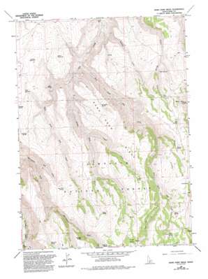
Rams Horn Ridge Topo Map Idaho
To zoom in, hover over the map of Rams Horn Ridge
USGS Topo Quad 42114c2 - 1:24,000 scale
| Topo Map Name: | Rams Horn Ridge |
| USGS Topo Quad ID: | 42114c2 |
| Print Size: | ca. 21 1/4" wide x 27" high |
| Southeast Coordinates: | 42.25° N latitude / 114.125° W longitude |
| Map Center Coordinates: | 42.3125° N latitude / 114.1875° W longitude |
| U.S. State: | ID |
| Filename: | o42114c2.jpg |
| Download Map JPG Image: | Rams Horn Ridge topo map 1:24,000 scale |
| Map Type: | Topographic |
| Topo Series: | 7.5´ |
| Map Scale: | 1:24,000 |
| Source of Map Images: | United States Geological Survey (USGS) |
| Alternate Map Versions: |
Rams Horn Ridge ID 1965, updated 1966 Download PDF Buy paper map Rams Horn Ridge ID 1965, updated 1983 Download PDF Buy paper map Rams Horn Ridge ID 1965, updated 1992 Download PDF Buy paper map Rams Horn Ridge ID 2001, updated 2006 Download PDF Buy paper map Rams Horn Ridge ID 2011 Download PDF Buy paper map Rams Horn Ridge ID 2013 Download PDF Buy paper map |
| FStopo: | US Forest Service topo Rams Horn Ridge is available: Download FStopo PDF Download FStopo TIF |
1:24,000 Topo Quads surrounding Rams Horn Ridge
> Back to 42114a1 at 1:100,000 scale
> Back to 42114a1 at 1:250,000 scale
> Back to U.S. Topo Maps home
Rams Horn Ridge topo map: Gazetteer
Rams Horn Ridge: Reservoirs
Deadeye Reservoir elevation 1715m 5626′Fuller Reservoir elevation 1669m 5475′
Keith Reservoir elevation 1688m 5538′
Rams Horn Ridge: Ridges
Rams Horn Ridge elevation 1889m 6197′Rams Horn Ridge: Springs
Antelope Spring elevation 1719m 5639′Basin Patch Spring elevation 2150m 7053′
Bowers Spring elevation 2001m 6564′
Cold Spring elevation 1975m 6479′
Cold Spring elevation 1937m 6354′
Coyote Spring elevation 2074m 6804′
Dry Fork Spring elevation 1840m 6036′
East Line Spring elevation 1924m 6312′
Franks Spring elevation 2111m 6925′
Indian Spring elevation 2026m 6646′
Jeffs Spring elevation 1659m 5442′
Lost Hat Spring elevation 2015m 6610′
Mud Spring elevation 1816m 5958′
Oliver Spring elevation 2027m 6650′
Porcupine Spring elevation 1771m 5810′
Rams Horn Ridge: Streams
Coal Pit Creek elevation 1964m 6443′Coyote Creek elevation 1642m 5387′
Dry Fork elevation 1531m 5022′
East Fork Dry Creek elevation 1423m 4668′
Medley Creek elevation 1386m 4547′
Middle Fork Dry Creek elevation 1466m 4809′
Third Fork Rock Creek elevation 1573m 5160′
West Fork Dry Creek elevation 1468m 4816′
Rams Horn Ridge: Summits
Coal Pit Butte elevation 2214m 7263′Rams Horn Ridge: Valleys
Horse Hollow elevation 2133m 6998′Stump Hollow elevation 1809m 5935′
Wahlstrom Hollow elevation 1590m 5216′
Rams Horn Ridge digital topo map on disk
Buy this Rams Horn Ridge topo map showing relief, roads, GPS coordinates and other geographical features, as a high-resolution digital map file on DVD:


