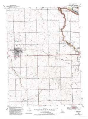
Filer Topo Map Idaho
To zoom in, hover over the map of Filer
USGS Topo Quad 42114e5 - 1:24,000 scale
| Topo Map Name: | Filer |
| USGS Topo Quad ID: | 42114e5 |
| Print Size: | ca. 21 1/4" wide x 27" high |
| Southeast Coordinates: | 42.5° N latitude / 114.5° W longitude |
| Map Center Coordinates: | 42.5625° N latitude / 114.5625° W longitude |
| U.S. State: | ID |
| Filename: | o42114e5.jpg |
| Download Map JPG Image: | Filer topo map 1:24,000 scale |
| Map Type: | Topographic |
| Topo Series: | 7.5´ |
| Map Scale: | 1:24,000 |
| Source of Map Images: | United States Geological Survey (USGS) |
| Alternate Map Versions: |
Filer ID 1950, updated 1952 Download PDF Buy paper map Filer ID 1950, updated 1992 Download PDF Buy paper map Filer ID 2010 Download PDF Buy paper map Filer ID 2013 Download PDF Buy paper map |
1:24,000 Topo Quads surrounding Filer
> Back to 42114e1 at 1:100,000 scale
> Back to 42114a1 at 1:250,000 scale
> Back to U.S. Topo Maps home
Filer topo map: Gazetteer
Filer: Canals
High Line Canal elevation 1243m 4078′Low Line Canal elevation 1198m 3930′
Filer: Flats
Sucker Flat elevation 1092m 3582′Filer: Lakes
Cedar Draw Lake elevation 1197m 3927′Filer: Parks
Filer Community Park elevation 1150m 3772′Rock Creek Park elevation 1097m 3599′
Filer: Populated Places
Curry elevation 1141m 3743′Filer elevation 1148m 3766′
Godwin elevation 1234m 4048′
Knull elevation 1213m 3979′
Filer: Valleys
Deadman Gulch elevation 1099m 3605′Filer digital topo map on disk
Buy this Filer topo map showing relief, roads, GPS coordinates and other geographical features, as a high-resolution digital map file on DVD:


