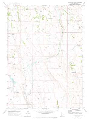
Crab Spring Butte Topo Map Idaho
To zoom in, hover over the map of Crab Spring Butte
USGS Topo Quad 42116e3 - 1:24,000 scale
| Topo Map Name: | Crab Spring Butte |
| USGS Topo Quad ID: | 42116e3 |
| Print Size: | ca. 21 1/4" wide x 27" high |
| Southeast Coordinates: | 42.5° N latitude / 116.25° W longitude |
| Map Center Coordinates: | 42.5625° N latitude / 116.3125° W longitude |
| U.S. State: | ID |
| Filename: | o42116e3.jpg |
| Download Map JPG Image: | Crab Spring Butte topo map 1:24,000 scale |
| Map Type: | Topographic |
| Topo Series: | 7.5´ |
| Map Scale: | 1:24,000 |
| Source of Map Images: | United States Geological Survey (USGS) |
| Alternate Map Versions: |
Crab Spring Butte ID 1972, updated 1975 Download PDF Buy paper map Crab Spring Butte ID 2010 Download PDF Buy paper map Crab Spring Butte ID 2013 Download PDF Buy paper map |
1:24,000 Topo Quads surrounding Crab Spring Butte
> Back to 42116e1 at 1:100,000 scale
> Back to 42116a1 at 1:250,000 scale
> Back to U.S. Topo Maps home
Crab Spring Butte topo map: Gazetteer
Crab Spring Butte: Dams
Scrappy Creek Dam elevation 1774m 5820′Crab Spring Butte: Reservoirs
Dry Creek Reservoir elevation 1774m 5820′Dry Creek Reservoir Number Eight elevation 1808m 5931′
Dry Creek Reservoir Number Three elevation 1774m 5820′
Dry Creek Reservoir Number Two elevation 1783m 5849′
Lahtinen Spring Reservoir elevation 1787m 5862′
Pole Creek Reservoir Number Five elevation 1830m 6003′
Turner Reservoir elevation 1768m 5800′
Crab Spring Butte: Springs
Crab Spring elevation 1781m 5843′Hutch Springs elevation 1801m 5908′
Rock Spring elevation 1798m 5898′
Squaw Spring elevation 1793m 5882′
Crab Spring Butte: Streams
Dry Creek elevation 1738m 5702′Rock Creek elevation 1745m 5725′
Crab Spring Butte: Summits
Crab Spring Butte elevation 1915m 6282′Crab Spring Butte digital topo map on disk
Buy this Crab Spring Butte topo map showing relief, roads, GPS coordinates and other geographical features, as a high-resolution digital map file on DVD:


