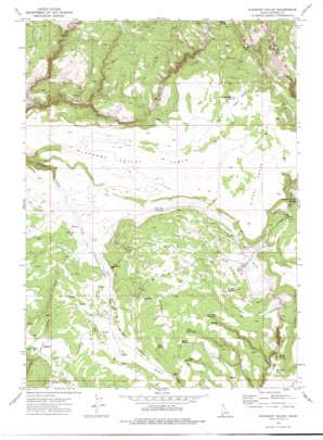
Pleasant Valley Topo Map Idaho
To zoom in, hover over the map of Pleasant Valley
USGS Topo Quad 42116e7 - 1:24,000 scale
| Topo Map Name: | Pleasant Valley |
| USGS Topo Quad ID: | 42116e7 |
| Print Size: | ca. 21 1/4" wide x 27" high |
| Southeast Coordinates: | 42.5° N latitude / 116.75° W longitude |
| Map Center Coordinates: | 42.5625° N latitude / 116.8125° W longitude |
| U.S. State: | ID |
| Filename: | o42116e7.jpg |
| Download Map JPG Image: | Pleasant Valley topo map 1:24,000 scale |
| Map Type: | Topographic |
| Topo Series: | 7.5´ |
| Map Scale: | 1:24,000 |
| Source of Map Images: | United States Geological Survey (USGS) |
| Alternate Map Versions: |
Pleasant Valley ID 1973, updated 1977 Download PDF Buy paper map Pleasant Valley ID 2010 Download PDF Buy paper map Pleasant Valley ID 2013 Download PDF Buy paper map |
1:24,000 Topo Quads surrounding Pleasant Valley
> Back to 42116e1 at 1:100,000 scale
> Back to 42116a1 at 1:250,000 scale
> Back to U.S. Topo Maps home
Pleasant Valley topo map: Gazetteer
Pleasant Valley: Basins
Dutch Oven elevation 1648m 5406′Pleasant Valley: Flats
Tobacco Meadow elevation 1754m 5754′Wilson Pasture elevation 1689m 5541′
Pleasant Valley: Populated Places
Pleasant Valley Place elevation 1667m 5469′Pleasant Valley: Reservoirs
Indian Battleground Reservoir elevation 1754m 5754′Joes Folly Reservoir elevation 1715m 5626′
Nickel Creek Reservoir elevation 1680m 5511′
Rays Reservoir elevation 1720m 5643′
Sandy Reservoir elevation 1685m 5528′
Twin Reservoirs elevation 1720m 5643′
Pleasant Valley: Springs
Bills Spring elevation 1713m 5620′Boni Spring elevation 1647m 5403′
Meadow Spring elevation 1678m 5505′
Minks Drink elevation 1714m 5623′
Nickel Creek Spring elevation 1646m 5400′
Stoneman Creek Spring elevation 1642m 5387′
Stoneman Spring elevation 1745m 5725′
Swamp Spring elevation 1799m 5902′
Teacup Spring elevation 1641m 5383′
Teakettle Spring elevation 1641m 5383′
Weaner Spring elevation 1648m 5406′
Pleasant Valley: Streams
Dons Creek elevation 1659m 5442′East Fork Pleasant Valley Creek elevation 1659m 5442′
Noon Creek elevation 1564m 5131′
Pleasant Valley: Summits
Nickel Creek Table elevation 1723m 5652′Pleasant Valley Table elevation 1714m 5623′
Pleasant Valley: Valleys
Pleasant Valley elevation 1660m 5446′Pleasant Valley digital topo map on disk
Buy this Pleasant Valley topo map showing relief, roads, GPS coordinates and other geographical features, as a high-resolution digital map file on DVD:


