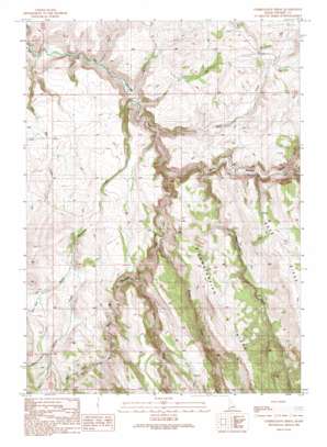
Combination Ridge Topo Map Idaho
To zoom in, hover over the map of Combination Ridge
USGS Topo Quad 42116g7 - 1:24,000 scale
| Topo Map Name: | Combination Ridge |
| USGS Topo Quad ID: | 42116g7 |
| Print Size: | ca. 21 1/4" wide x 27" high |
| Southeast Coordinates: | 42.75° N latitude / 116.75° W longitude |
| Map Center Coordinates: | 42.8125° N latitude / 116.8125° W longitude |
| U.S. State: | ID |
| Filename: | o42116g7.jpg |
| Download Map JPG Image: | Combination Ridge topo map 1:24,000 scale |
| Map Type: | Topographic |
| Topo Series: | 7.5´ |
| Map Scale: | 1:24,000 |
| Source of Map Images: | United States Geological Survey (USGS) |
| Alternate Map Versions: |
Combination Ridge ID 1990, updated 1991 Download PDF Buy paper map Combination Ridge ID 2010 Download PDF Buy paper map Combination Ridge ID 2013 Download PDF Buy paper map |
1:24,000 Topo Quads surrounding Combination Ridge
> Back to 42116e1 at 1:100,000 scale
> Back to 42116a1 at 1:250,000 scale
> Back to U.S. Topo Maps home
Combination Ridge topo map: Gazetteer
Combination Ridge: Streams
Bogus Creek elevation 1513m 4963′Combination Creek elevation 1495m 4904′
Coyote Creek elevation 1641m 5383′
Deer Creek elevation 1434m 4704′
Howl Creek elevation 1685m 5528′
Indian Creek elevation 1556m 5104′
Mill Creek elevation 1672m 5485′
North Boulder Creek elevation 1441m 4727′
Old Man Creek elevation 1403m 4603′
Rock Creek elevation 1478m 4849′
South Boulder Creek elevation 1441m 4727′
South Mountain Creek elevation 1430m 4691′
Combination Ridge: Valleys
Vulcan Gulch elevation 1686m 5531′Combination Ridge digital topo map on disk
Buy this Combination Ridge topo map showing relief, roads, GPS coordinates and other geographical features, as a high-resolution digital map file on DVD:


