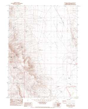
Boghole Spring Topo Map Oregon
To zoom in, hover over the map of Boghole Spring
USGS Topo Quad 42117a7 - 1:24,000 scale
| Topo Map Name: | Boghole Spring |
| USGS Topo Quad ID: | 42117a7 |
| Print Size: | ca. 21 1/4" wide x 27" high |
| Southeast Coordinates: | 42° N latitude / 117.75° W longitude |
| Map Center Coordinates: | 42.0625° N latitude / 117.8125° W longitude |
| U.S. State: | OR |
| Filename: | o42117a7.jpg |
| Download Map JPG Image: | Boghole Spring topo map 1:24,000 scale |
| Map Type: | Topographic |
| Topo Series: | 7.5´ |
| Map Scale: | 1:24,000 |
| Source of Map Images: | United States Geological Survey (USGS) |
| Alternate Map Versions: |
Boghole Spring OR 1982, updated 1983 Download PDF Buy paper map Boghole Spring OR 2011 Download PDF Buy paper map Boghole Spring OR 2014 Download PDF Buy paper map |
1:24,000 Topo Quads surrounding Boghole Spring
> Back to 42117a1 at 1:100,000 scale
> Back to 42116a1 at 1:250,000 scale
> Back to U.S. Topo Maps home
Boghole Spring topo map: Gazetteer
Boghole Spring: Mines
Little Queen Mine elevation 1395m 4576′Boghole Spring: Ranges
Hot Spring Hills elevation 1446m 4744′Boghole Spring: Reservoirs
Deafenbough Reservoir Number 1 elevation 1659m 5442′Deafenbough Reservoir Number 2 elevation 1549m 5082′
Flattop Reservoir elevation 1537m 5042′
Myers Waterhole elevation 1568m 5144′
Boghole Spring: Springs
Boghole Spring elevation 1370m 4494′Bryson Spring elevation 1354m 4442′
Hot Spring elevation 1366m 4481′
Juniper Spring elevation 1880m 6167′
Seep Spring elevation 1429m 4688′
State Section Spring elevation 1888m 6194′
Boghole Spring: Streams
Jackson Creek elevation 1367m 4484′Oregon Canyon Creek elevation 1351m 4432′
Rock Creek elevation 1388m 4553′
Boghole Spring: Wells
Myers Well elevation 1364m 4475′Boghole Spring digital topo map on disk
Buy this Boghole Spring topo map showing relief, roads, GPS coordinates and other geographical features, as a high-resolution digital map file on DVD:


