South Of Ana River Topo Map Oregon
To zoom in, hover over the map of South Of Ana River
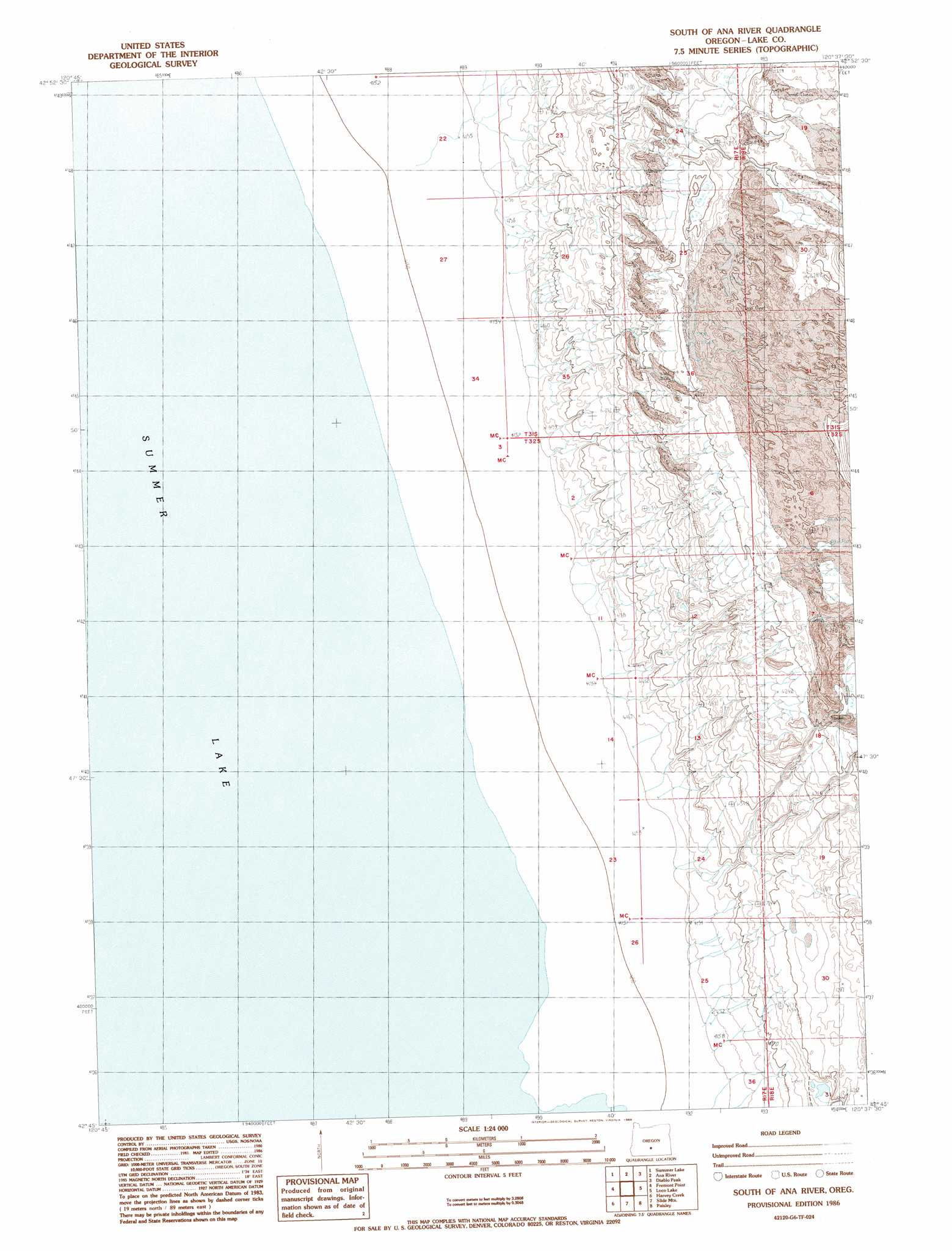
USGS Topo Quad 42120g6 - 1:24,000 scale
| Topo Map Name: | South Of Ana River |
| USGS Topo Quad ID: | 42120g6 |
| Print Size: | ca. 21 1/4" wide x 27" high |
| Southeast Coordinates: | 42.75° N latitude / 120.625° W longitude |
| Map Center Coordinates: | 42.8125° N latitude / 120.6875° W longitude |
| U.S. State: | OR |
| Filename: | o42120g6.jpg |
| Download Map JPG Image: | South Of Ana River topo map 1:24,000 scale |
| Map Type: | Topographic |
| Topo Series: | 7.5´ |
| Map Scale: | 1:24,000 |
| Source of Map Images: | United States Geological Survey (USGS) |
| Alternate Map Versions: |
South of Ana River OR 1986, updated 1986 Download PDF Buy paper map South of Ana River OR 2011 Download PDF Buy paper map South of Ana River OR 2014 Download PDF Buy paper map |
1:24,000 Topo Quads surrounding South Of Ana River
Duncan Reservoir |
Egli Rim |
Sheeplick Draw |
Saint Patrick Mountain |
Sheep Rock |
Foster Butte |
Summer Lake |
Ana River |
Diablo Peak |
Bull Lake |
Pole Butte |
Fremont Point |
South Of Ana River |
Loco Lake |
Sharp Top |
Shake Butte |
Harvey Creek |
Slide Mountain |
Paisley |
Coglan Buttes |
Sandhill Crossing |
Lee Thomas Crossing |
Coffeepot Creek |
Morgan Butte |
Tucker Hill |
> Back to 42120e1 at 1:100,000 scale
> Back to 42120a1 at 1:250,000 scale
> Back to U.S. Topo Maps home
South Of Ana River digital topo map on disk
Buy this South Of Ana River topo map showing relief, roads, GPS coordinates and other geographical features, as a high-resolution digital map file on DVD: