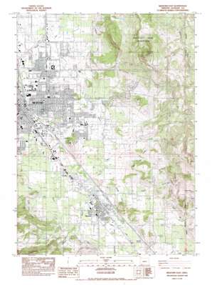
Medford East Topo Map Oregon
To zoom in, hover over the map of Medford East
USGS Topo Quad 42122c7 - 1:24,000 scale
| Topo Map Name: | Medford East |
| USGS Topo Quad ID: | 42122c7 |
| Print Size: | ca. 21 1/4" wide x 27" high |
| Southeast Coordinates: | 42.25° N latitude / 122.75° W longitude |
| Map Center Coordinates: | 42.3125° N latitude / 122.8125° W longitude |
| U.S. State: | OR |
| Filename: | o42122c7.jpg |
| Download Map JPG Image: | Medford East topo map 1:24,000 scale |
| Map Type: | Topographic |
| Topo Series: | 7.5´ |
| Map Scale: | 1:24,000 |
| Source of Map Images: | United States Geological Survey (USGS) |
| Alternate Map Versions: |
Medford SE OR 1974, updated 1979 Download PDF Buy paper map Medford East OR 1974, updated 1986 Download PDF Buy paper map Medford East OR 1983, updated 1983 Download PDF Buy paper map Medford East OR 2011 Download PDF Buy paper map Medford East OR 2014 Download PDF Buy paper map |
1:24,000 Topo Quads surrounding Medford East
> Back to 42122a1 at 1:100,000 scale
> Back to 42122a1 at 1:250,000 scale
> Back to U.S. Topo Maps home
Medford East topo map: Gazetteer
Medford East: Airports
Providence Hospital Heliport elevation 414m 1358′Rogue Valley International-Medford Airport elevation 401m 1315′
Rogue Valley Memorial Hospital Heliport elevation 453m 1486′
Medford East: Canals
Talent Lateral elevation 524m 1719′Talent Middle Canal elevation 517m 1696′
Medford East: Cliffs
Payne Cliffs elevation 785m 2575′Medford East: Parks
Bear Creek Park elevation 416m 1364′Jefferson School Park elevation 437m 1433′
Medford East: Populated Places
Phoenix elevation 460m 1509′Medford East: Post Offices
Phoenix Post Office elevation 460m 1509′Medford East: Reservoirs
Francis L Reservoir elevation 538m 1765′Gammill Reservoir elevation 516m 1692′
Hilldale Reservoir elevation 472m 1548′
Holmes Reservoir elevation 564m 1850′
Larson Creek Reservoir elevation 524m 1719′
Lowry Reservoir elevation 496m 1627′
Nelson Reservoir elevation 610m 2001′
Medford East: Streams
Anderson Creek elevation 458m 1502′Coal Mine Creek elevation 560m 1837′
Coleman Creek elevation 446m 1463′
Crooked Creek elevation 416m 1364′
Gore Creek elevation 433m 1420′
Kenutchen Creek elevation 468m 1535′
Larson Creek elevation 425m 1394′
Lazy Creek elevation 426m 1397′
Mills Creek elevation 517m 1696′
North Branch Swanson Creek elevation 451m 1479′
Payne Creek elevation 459m 1505′
Medford East: Summits
Baldy elevation 1152m 3779′Barneburg Hill elevation 457m 1499′
Buckshot Hill elevation 460m 1509′
Roxy Ann Peak elevation 1052m 3451′
Tombstone elevation 973m 3192′
Medford East: Valleys
Cliff Gulch elevation 528m 1732′Fern Valley elevation 459m 1505′
Rheinhardt Gulch elevation 547m 1794′
Medford East digital topo map on disk
Buy this Medford East topo map showing relief, roads, GPS coordinates and other geographical features, as a high-resolution digital map file on DVD:


