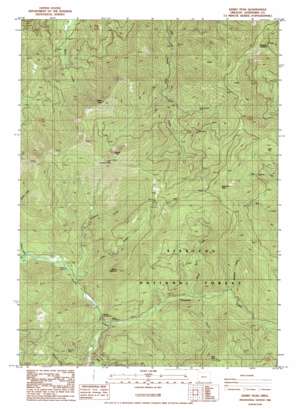
Kerby Peak Topo Map Oregon
To zoom in, hover over the map of Kerby Peak
USGS Topo Quad 42123b4 - 1:24,000 scale
| Topo Map Name: | Kerby Peak |
| USGS Topo Quad ID: | 42123b4 |
| Print Size: | ca. 21 1/4" wide x 27" high |
| Southeast Coordinates: | 42.125° N latitude / 123.375° W longitude |
| Map Center Coordinates: | 42.1875° N latitude / 123.4375° W longitude |
| U.S. State: | OR |
| Filename: | o42123b4.jpg |
| Download Map JPG Image: | Kerby Peak topo map 1:24,000 scale |
| Map Type: | Topographic |
| Topo Series: | 7.5´ |
| Map Scale: | 1:24,000 |
| Source of Map Images: | United States Geological Survey (USGS) |
| Alternate Map Versions: |
Kerby Peak OR 1986, updated 1986 Download PDF Buy paper map Kerby Peak OR 1996, updated 1999 Download PDF Buy paper map Kerby Peak OR 2011 Download PDF Buy paper map Kerby Peak OR 2014 Download PDF Buy paper map |
| FStopo: | US Forest Service topo Kerby Peak is available: Download FStopo PDF Download FStopo TIF |
1:24,000 Topo Quads surrounding Kerby Peak
> Back to 42123a1 at 1:100,000 scale
> Back to 42122a1 at 1:250,000 scale
> Back to U.S. Topo Maps home
Kerby Peak topo map: Gazetteer
Kerby Peak: Airports
Hendershots Airstrip elevation 883m 2896′Kerby Peak: Bars
Oregon Bar elevation 638m 2093′Kerby Peak: Flats
Cedar Flat elevation 1213m 3979′Kerby Peak: Lakes
Rabbit Lake elevation 1571m 5154′Kerby Peak: Mines
Boswell Mine elevation 843m 2765′Gem Quartz Mine elevation 619m 2030′
Gold Pan Placer Mine elevation 583m 1912′
Little Jim Mine elevation 766m 2513′
Paradise Mine elevation 923m 3028′
Paradise Mine Number 1 elevation 1123m 3684′
Kerby Peak: Streams
Cave Creek elevation 584m 1916′Grayback Creek elevation 562m 1843′
Lake Creek elevation 532m 1745′
Little Grayback Creek elevation 529m 1735′
Mossback Creek elevation 748m 2454′
Nelson Creek elevation 510m 1673′
White Rock Creek elevation 662m 2171′
Kerby Peak: Summits
Buck Peak elevation 1567m 5141′Holcomb Peak elevation 1565m 5134′
Kerby Peak elevation 1652m 5419′
Little Grayback Peak elevation 1650m 5413′
Morgans Buckhorn elevation 1471m 4826′
Squaw Mountain elevation 1283m 4209′
Kerby Peak: Trails
Kerby Peak Trail elevation 1269m 4163′Oregon Caves Trail elevation 1353m 4438′
Kerby Peak: Valleys
Little Jim Gulch elevation 585m 1919′Lost Canyon elevation 682m 2237′
Kerby Peak digital topo map on disk
Buy this Kerby Peak topo map showing relief, roads, GPS coordinates and other geographical features, as a high-resolution digital map file on DVD:


