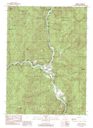
Agness Topo Map Oregon
To zoom in, hover over the map of Agness
USGS Topo Quad 42124e1 - 1:24,000 scale
| Topo Map Name: | Agness |
| USGS Topo Quad ID: | 42124e1 |
| Print Size: | ca. 21 1/4" wide x 27" high |
| Southeast Coordinates: | 42.5° N latitude / 124° W longitude |
| Map Center Coordinates: | 42.5625° N latitude / 124.0625° W longitude |
| U.S. State: | OR |
| Filename: | o42124e1.jpg |
| Download Map JPG Image: | Agness topo map 1:24,000 scale |
| Map Type: | Topographic |
| Topo Series: | 7.5´ |
| Map Scale: | 1:24,000 |
| Source of Map Images: | United States Geological Survey (USGS) |
| Alternate Map Versions: |
Agness OR 1989, updated 1989 Download PDF Buy paper map Agness OR 1998, updated 2001 Download PDF Buy paper map Agness OR 2011 Download PDF Buy paper map Agness OR 2014 Download PDF Buy paper map |
| FStopo: | US Forest Service topo Agness is available: Download FStopo PDF Download FStopo TIF |
1:24,000 Topo Quads surrounding Agness
> Back to 42124e1 at 1:100,000 scale
> Back to 42124a1 at 1:250,000 scale
> Back to U.S. Topo Maps home
Agness topo map: Gazetteer
Agness: Bars
Agness Bar elevation 38m 124′Lynch Bar elevation 51m 167′
Tom Fry Eddy elevation 32m 104′
Walker Bar elevation 37m 121′
Agness: Cliffs
Twin Sisters elevation 32m 104′Agness: Flats
Oak Flat elevation 86m 282′Agness: Lakes
Allen Pool elevation 27m 88′Big Eddy elevation 29m 95′
Lake of the Woods elevation 899m 2949′
Smith Hole elevation 51m 167′
Agness: Parks
Waters Creek Campground (historical) elevation 36m 118′Agness: Populated Places
Agness elevation 63m 206′Agness: Post Offices
Agness Post Office elevation 63m 206′Cumtux Post Office (historical) elevation 77m 252′
Agness: Rapids
Bean Riffle elevation 21m 68′Boiler Riffle elevation 285m 935′
Crooked Riffle elevation 25m 82′
Dunbar Riffle elevation 44m 144′
Hotel Riffle elevation 33m 108′
Little Wildcat Rapids elevation 43m 141′
Lower Shasta Costa Riffle elevation 32m 104′
Mermaid Riffle elevation 31m 101′
Milkmaid Riffle elevation 30m 98′
Mixer Riffle elevation 23m 75′
Old Diggins Riffle elevation 39m 127′
Painted Riffle elevation 25m 82′
Shasta Costa Riffle elevation 33m 108′
Smith Riffle elevation 60m 196′
Smithers Riffle elevation 42m 137′
Twomile Rapids elevation 38m 124′
Upper Crooked Riffle elevation 28m 91′
Walker Riffle elevation 36m 118′
Wee Riffle elevation 30m 98′
Agness: Streams
Anderson Creek elevation 49m 160′Blue Jay Creek elevation 55m 180′
Cochran Creek elevation 53m 173′
Ethels Creek elevation 60m 196′
Fall Creek elevation 51m 167′
Fox Creek elevation 40m 131′
Illinois River elevation 31m 101′
Lawson Creek elevation 43m 141′
Lone Tree Creek elevation 40m 131′
Morris Rodgers Creek elevation 26m 85′
Muleshoe Creek elevation 37m 121′
Nancy Creek elevation 67m 219′
Old House Creek elevation 63m 206′
Painted Rock Creek elevation 35m 114′
Rattlesnake Creek elevation 55m 180′
Rilea Creek elevation 44m 144′
Scott Creek elevation 52m 170′
Shasta Costa Creek elevation 38m 124′
Slide Creek elevation 36m 118′
Snout Creek elevation 32m 104′
Stonehouse Creek elevation 22m 72′
Sundown Creek elevation 21m 68′
Tom Fry Creek elevation 38m 124′
Twomile Creek elevation 37m 121′
Walker Creek elevation 46m 150′
Waters Creek elevation 35m 114′
Agness: Summits
Brushy Mountain elevation 1076m 3530′Green Knob elevation 1053m 3454′
Pebble Hill elevation 916m 3005′
Raspberry Mountain elevation 842m 2762′
Sevenmile Peak elevation 919m 3015′
Agness: Valleys
Copper Canyon elevation 22m 72′Agness digital topo map on disk
Buy this Agness topo map showing relief, roads, GPS coordinates and other geographical features, as a high-resolution digital map file on DVD:


