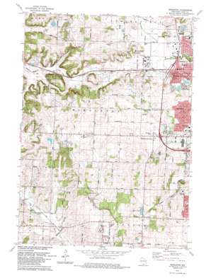
Middleton Topo Map Wisconsin
To zoom in, hover over the map of Middleton
USGS Topo Quad 43089a5 - 1:24,000 scale
| Topo Map Name: | Middleton |
| USGS Topo Quad ID: | 43089a5 |
| Print Size: | ca. 21 1/4" wide x 27" high |
| Southeast Coordinates: | 43° N latitude / 89.5° W longitude |
| Map Center Coordinates: | 43.0625° N latitude / 89.5625° W longitude |
| U.S. State: | WI |
| Filename: | o43089a5.jpg |
| Download Map JPG Image: | Middleton topo map 1:24,000 scale |
| Map Type: | Topographic |
| Topo Series: | 7.5´ |
| Map Scale: | 1:24,000 |
| Source of Map Images: | United States Geological Survey (USGS) |
| Alternate Map Versions: |
Middleton WI 1962, updated 1964 Download PDF Buy paper map Middleton WI 1962, updated 1970 Download PDF Buy paper map Middleton WI 1962, updated 1975 Download PDF Buy paper map Middleton WI 1983, updated 1984 Download PDF Buy paper map Middleton WI 2010 Download PDF Buy paper map Middleton WI 2013 Download PDF Buy paper map Middleton WI 2016 Download PDF Buy paper map |
1:24,000 Topo Quads surrounding Middleton
> Back to 43089a1 at 1:100,000 scale
> Back to 43088a1 at 1:250,000 scale
> Back to U.S. Topo Maps home
Middleton topo map: Gazetteer
Middleton: Airports
Morey Airport elevation 282m 925′Middleton: Lakes
Esser Pond elevation 282m 925′Graber Pond elevation 272m 892′
Morse Pond elevation 299m 980′
Strickers Pond elevation 278m 912′
Tiedemans Pond elevation 278m 912′
Middleton: Parks
Firemans Park elevation 283m 928′Hawkridge Park elevation 291m 954′
Parkside Heights Park elevation 277m 908′
Strickers Pond Park elevation 280m 918′
Woodside Heights Park elevation 279m 915′
Middleton: Populated Places
Five Points elevation 307m 1007′Middleton elevation 286m 938′
Middleton Junction elevation 323m 1059′
Riley elevation 293m 961′
West Middleton elevation 330m 1082′
Middleton: Post Offices
Middleton Post Office elevation 285m 935′Middleton digital topo map on disk
Buy this Middleton topo map showing relief, roads, GPS coordinates and other geographical features, as a high-resolution digital map file on DVD:


