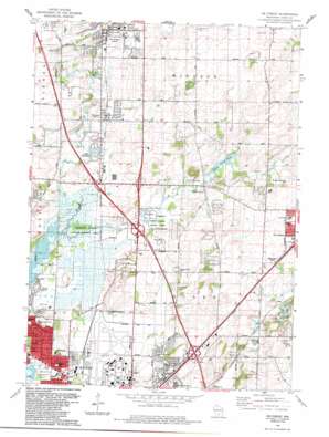
De Forest Topo Map Wisconsin
To zoom in, hover over the map of De Forest
USGS Topo Quad 43089b3 - 1:24,000 scale
| Topo Map Name: | De Forest |
| USGS Topo Quad ID: | 43089b3 |
| Print Size: | ca. 21 1/4" wide x 27" high |
| Southeast Coordinates: | 43.125° N latitude / 89.25° W longitude |
| Map Center Coordinates: | 43.1875° N latitude / 89.3125° W longitude |
| U.S. State: | WI |
| Filename: | o43089b3.jpg |
| Download Map JPG Image: | De Forest topo map 1:24,000 scale |
| Map Type: | Topographic |
| Topo Series: | 7.5´ |
| Map Scale: | 1:24,000 |
| Source of Map Images: | United States Geological Survey (USGS) |
| Alternate Map Versions: |
De Forest WI 1959, updated 1960 Download PDF Buy paper map De Forest WI 1959, updated 1970 Download PDF Buy paper map De Forest WI 1959, updated 1975 Download PDF Buy paper map De Forest WI 1983, updated 1984 Download PDF Buy paper map De Forest WI 2010 Download PDF Buy paper map De Forest WI 2013 Download PDF Buy paper map De Forest WI 2016 Download PDF Buy paper map |
1:24,000 Topo Quads surrounding De Forest
> Back to 43089a1 at 1:100,000 scale
> Back to 43088a1 at 1:250,000 scale
> Back to U.S. Topo Maps home
De Forest topo map: Gazetteer
De Forest: Airports
Dane County Regional Airport-Truax Field elevation 260m 853′De Forest: Dams
Token Creek Dam (historical) elevation 266m 872′De Forest: Parks
Berkley Park elevation 270m 885′Cherokee Marsh State Fishery Area elevation 259m 849′
Cherokee Marsh State Natural Area elevation 261m 856′
Cherokee Park elevation 262m 859′
Firemens Park elevation 288m 944′
Oakridge Park elevation 298m 977′
Reindahl Park elevation 271m 889′
Sherman Park elevation 267m 875′
Token Creek County Park elevation 269m 882′
Warner Park elevation 261m 856′
Western Green Area Park elevation 282m 925′
De Forest: Populated Places
Burke elevation 277m 908′Darwin (historical) elevation 270m 885′
De Forest elevation 289m 948′
Foxmoor Hills elevation 296m 971′
Hoepkers Corners elevation 302m 990′
Lake Windsor elevation 268m 879′
Oak Park Terrace elevation 274m 898′
Raintree elevation 274m 898′
Sherwood Glen elevation 302m 990′
Sunburst elevation 310m 1017′
Token Creek elevation 269m 882′
Windsor elevation 274m 898′
Wynbrooke elevation 292m 958′
De Forest: Post Offices
De Forest Post Office elevation 288m 944′De Forest: Reservoirs
Token Creek Pond elevation 266m 872′Token Creek Pond 12 elevation 265m 869′
De Forest: Streams
Token Creek elevation 257m 843′De Forest digital topo map on disk
Buy this De Forest topo map showing relief, roads, GPS coordinates and other geographical features, as a high-resolution digital map file on DVD:


