Armstrong Se Topo Map Iowa
To zoom in, hover over the map of Armstrong Se
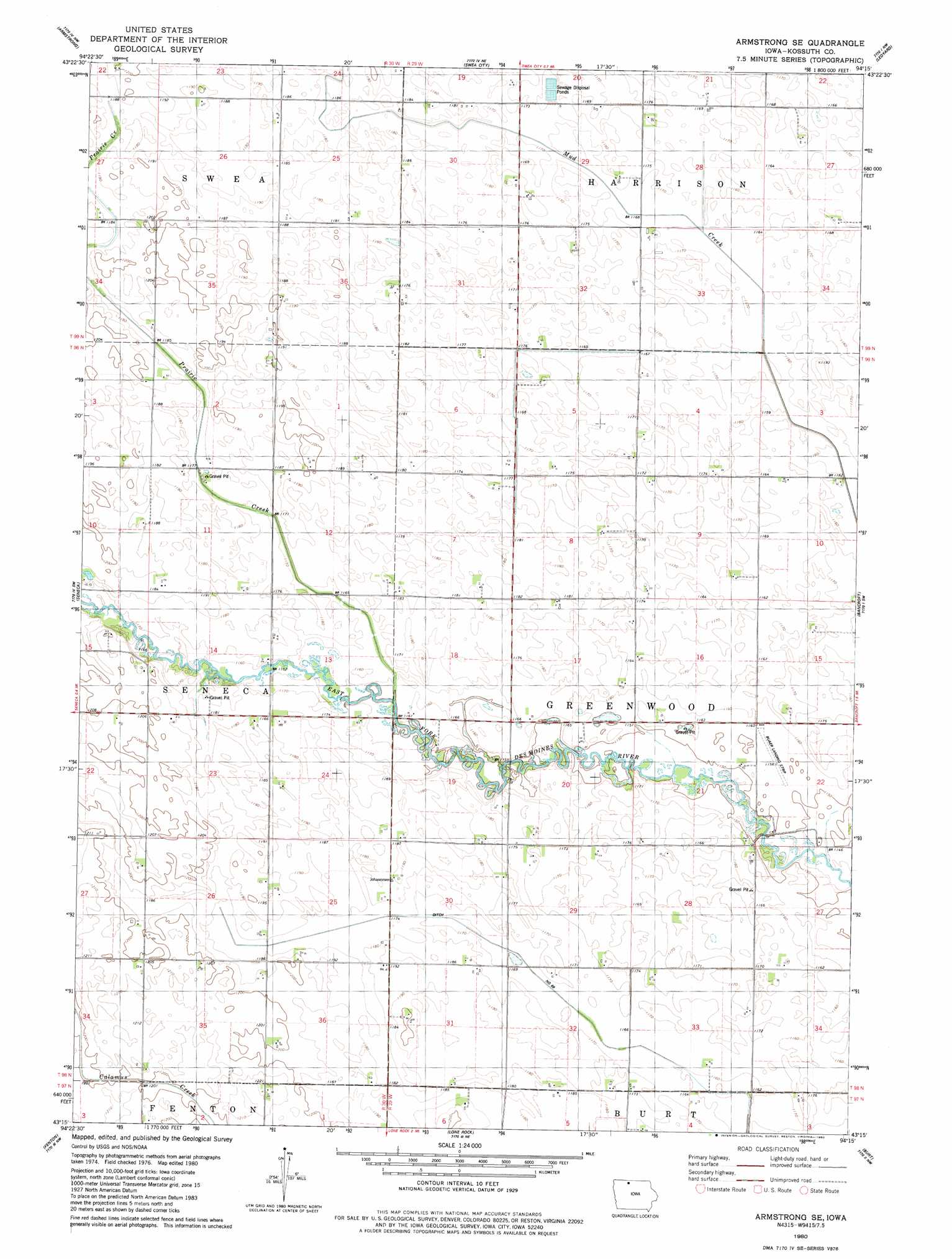
USGS Topo Quad 43094c3 - 1:24,000 scale
| Topo Map Name: | Armstrong Se |
| USGS Topo Quad ID: | 43094c3 |
| Print Size: | ca. 21 1/4" wide x 27" high |
| Southeast Coordinates: | 43.25° N latitude / 94.25° W longitude |
| Map Center Coordinates: | 43.3125° N latitude / 94.3125° W longitude |
| U.S. State: | IA |
| Filename: | o43094c3.jpg |
| Download Map JPG Image: | Armstrong Se topo map 1:24,000 scale |
| Map Type: | Topographic |
| Topo Series: | 7.5´ |
| Map Scale: | 1:24,000 |
| Source of Map Images: | United States Geological Survey (USGS) |
| Alternate Map Versions: |
Armstrong SE IA 1980, updated 1980 Download PDF Buy paper map Armstrong SE IA 2010 Download PDF Buy paper map Armstrong SE IA 2013 Download PDF Buy paper map Armstrong SE IA 2015 Download PDF Buy paper map |
1:24,000 Topo Quads surrounding Armstrong Se
Wilbert |
Wilmert Lake |
East Chain |
Pilot Grove |
Elmore |
Dolliver |
Armstrong |
Swea City |
Ledyard |
Lakota |
Ringsted |
Seneca |
Armstrong Se |
Bancroft |
German Valley |
Depew |
Fenton |
Lone Rock |
Burt |
Titonka |
Cylinder |
Whittemore |
Hobarton |
Algona |
Sexton |
> Back to 43094a1 at 1:100,000 scale
> Back to 43094a1 at 1:250,000 scale
> Back to U.S. Topo Maps home
Armstrong Se topo map: Gazetteer
Armstrong Se: Airports
Buaer Landing Strip elevation 352m 1154′Armstrong Se: Streams
Prairie Creek elevation 350m 1148′Armstrong Se: Swamps
Greenwood Marsh elevation 354m 1161′Armstrong Se digital topo map on disk
Buy this Armstrong Se topo map showing relief, roads, GPS coordinates and other geographical features, as a high-resolution digital map file on DVD: