Mountain Lake Topo Map Minnesota
To zoom in, hover over the map of Mountain Lake
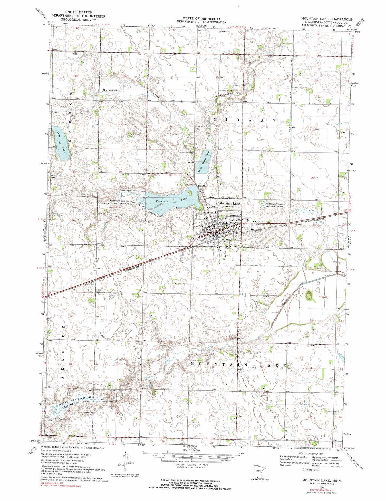
USGS Topo Quad 43094h8 - 1:24,000 scale
| Topo Map Name: | Mountain Lake |
| USGS Topo Quad ID: | 43094h8 |
| Print Size: | ca. 21 1/4" wide x 27" high |
| Southeast Coordinates: | 43.875° N latitude / 94.875° W longitude |
| Map Center Coordinates: | 43.9375° N latitude / 94.9375° W longitude |
| U.S. State: | MN |
| Filename: | o43094h8.jpg |
| Download Map JPG Image: | Mountain Lake topo map 1:24,000 scale |
| Map Type: | Topographic |
| Topo Series: | 7.5´ |
| Map Scale: | 1:24,000 |
| Source of Map Images: | United States Geological Survey (USGS) |
| Alternate Map Versions: |
Mountain Lake MN 1970, updated 1972 Download PDF Buy paper map Mountain Lake MN 1970, updated 1991 Download PDF Buy paper map Mountain Lake MN 2010 Download PDF Buy paper map Mountain Lake MN 2013 Download PDF Buy paper map Mountain Lake MN 2016 Download PDF Buy paper map |
1:24,000 Topo Quads surrounding Mountain Lake
Sanborn |
Sanborn Ne |
Springfield |
Leavenworth |
Lake Hanska West |
Jeffers |
Sanborn Se |
Comfrey |
Darfur |
Godahl |
Harder Lake |
Bingham Lake |
Mountain Lake |
Butterfield |
Saint James West |
Wilder |
Windom |
Bergen |
Mountain Lake Se |
Trimont |
Lakefield |
Lakefield Ne |
Jackson Nw |
Alpha |
Sherburn |
> Back to 43094e1 at 1:100,000 scale
> Back to 43094a1 at 1:250,000 scale
> Back to U.S. Topo Maps home
Mountain Lake topo map: Gazetteer
Mountain Lake: Canals
County Ditch Number Thirtyseven elevation 379m 1243′Mountain Lake: Dams
Mountain Lake Dam elevation 381m 1250′Mountain Lake: Parks
Bennett State Wildlife Management Area elevation 398m 1305′Lawcon Park elevation 383m 1256′
Mountain County Park elevation 384m 1259′
Mountain Lake City Park elevation 397m 1302′
Mountain Lake State Wildlife Management Area elevation 385m 1263′
Mountain Lake: Populated Places
Mountain Lake elevation 397m 1302′Mountain Lake: Post Offices
Mountain Lake Post Office elevation 397m 1302′Mountain Lake: Reservoirs
Long Lake elevation 393m 1289′Mountain Lake elevation 381m 1250′
Mountain Lake digital topo map on disk
Buy this Mountain Lake topo map showing relief, roads, GPS coordinates and other geographical features, as a high-resolution digital map file on DVD: