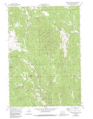
Medicine Mountain Topo Map South Dakota
To zoom in, hover over the map of Medicine Mountain
USGS Topo Quad 43103h6 - 1:24,000 scale
| Topo Map Name: | Medicine Mountain |
| USGS Topo Quad ID: | 43103h6 |
| Print Size: | ca. 21 1/4" wide x 27" high |
| Southeast Coordinates: | 43.875° N latitude / 103.625° W longitude |
| Map Center Coordinates: | 43.9375° N latitude / 103.6875° W longitude |
| U.S. State: | SD |
| Filename: | o43103h6.jpg |
| Download Map JPG Image: | Medicine Mountain topo map 1:24,000 scale |
| Map Type: | Topographic |
| Topo Series: | 7.5´ |
| Map Scale: | 1:24,000 |
| Source of Map Images: | United States Geological Survey (USGS) |
| Alternate Map Versions: |
Medicine Mountain SD 1956, updated 1958 Download PDF Buy paper map Medicine Mountain SD 1956, updated 1968 Download PDF Buy paper map Medicine Mountain SD 1956, updated 1975 Download PDF Buy paper map Medicine Mountain SD 1956, updated 1986 Download PDF Buy paper map Medicine Mountain SD 1998, updated 2001 Download PDF Buy paper map Medicine Mountain SD 2012 Download PDF Buy paper map Medicine Mountain SD 2015 Download PDF Buy paper map |
| FStopo: | US Forest Service topo Medicine Mountain is available: Download FStopo PDF Download FStopo TIF |
1:24,000 Topo Quads surrounding Medicine Mountain
> Back to 43103e1 at 1:100,000 scale
> Back to 43102a1 at 1:250,000 scale
> Back to U.S. Topo Maps home
Medicine Mountain topo map: Gazetteer
Medicine Mountain: Basins
Bear Mountain Basin elevation 1972m 6469′Medicine Mountain: Dams
BSA Dam elevation 1875m 6151′Medicine Mountain: Flats
Gillette Prairie elevation 1963m 6440′Medicine Mountain: Forests
Black Hills National Forest elevation 1898m 6227′Medicine Mountain: Mines
Mastiff Mine elevation 2023m 6637′Sunflower Mine elevation 1799m 5902′
Western Feldspar Mine elevation 1915m 6282′
Medicine Mountain: Parks
Reno Gulch Park elevation 1724m 5656′Medicine Mountain: Populated Places
Tigerville elevation 1672m 5485′Medicine Mountain: Reservoirs
Reno Gulch Reservoir elevation 1710m 5610′Thompson Reservoir elevation 1746m 5728′
Medicine Mountain: Ridges
Coad Hill elevation 1928m 6325′Medicine Mountain: Springs
Strickland Spring elevation 2007m 6584′Medicine Mountain: Streams
Coon Creek elevation 1770m 5807′Marble Creek elevation 1861m 6105′
Negro Creek elevation 1764m 5787′
South Slate Creek elevation 1780m 5839′
Medicine Mountain: Summits
Copper Mountain elevation 2111m 6925′Medicine Mountain elevation 2086m 6843′
Medicine Mountain: Valleys
Bobcat Gulch elevation 1871m 6138′Brushy Draw elevation 1655m 5429′
Frink Draw elevation 1827m 5994′
Gooseberry Draw elevation 1815m 5954′
Little Thompson Draw elevation 1762m 5780′
Long Draw elevation 1815m 5954′
Thompson Draw elevation 1752m 5748′
Tree Draw elevation 1838m 6030′
Medicine Mountain digital topo map on disk
Buy this Medicine Mountain topo map showing relief, roads, GPS coordinates and other geographical features, as a high-resolution digital map file on DVD:
Eastern Wyoming & Western South Dakota
Buy digital topo maps: Eastern Wyoming & Western South Dakota


