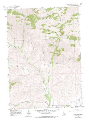
Baugh Creek Topo Map Idaho
To zoom in, hover over the map of Baugh Creek
USGS Topo Quad 43114e1 - 1:24,000 scale
| Topo Map Name: | Baugh Creek |
| USGS Topo Quad ID: | 43114e1 |
| Print Size: | ca. 21 1/4" wide x 27" high |
| Southeast Coordinates: | 43.5° N latitude / 114° W longitude |
| Map Center Coordinates: | 43.5625° N latitude / 114.0625° W longitude |
| U.S. State: | ID |
| Filename: | o43114e1.jpg |
| Download Map JPG Image: | Baugh Creek topo map 1:24,000 scale |
| Map Type: | Topographic |
| Topo Series: | 7.5´ |
| Map Scale: | 1:24,000 |
| Source of Map Images: | United States Geological Survey (USGS) |
| Alternate Map Versions: |
Baugh Creek ID 1967, updated 1971 Download PDF Buy paper map Baugh Creek ID 1967, updated 1978 Download PDF Buy paper map Baugh Creek ID 2011 Download PDF Buy paper map Baugh Creek ID 2013 Download PDF Buy paper map |
| FStopo: | US Forest Service topo Baugh Creek is available: Download FStopo PDF Download FStopo TIF |
1:24,000 Topo Quads surrounding Baugh Creek
> Back to 43114e1 at 1:100,000 scale
> Back to 43114a1 at 1:250,000 scale
> Back to U.S. Topo Maps home
Baugh Creek topo map: Gazetteer
Baugh Creek: Streams
Baugh Creek elevation 1636m 5367′Brown Creek elevation 1672m 5485′
Buck Creek elevation 1706m 5597′
Chicken Creek elevation 1696m 5564′
Cold Spring Creek elevation 1624m 5328′
Hailey Creek elevation 1685m 5528′
Kale Creek elevation 1802m 5912′
Lane Creek elevation 1765m 5790′
LeMoyne Creek elevation 1832m 6010′
Little Baugh Creek elevation 1733m 5685′
Painter Creek elevation 1811m 5941′
Porcupine Creek elevation 1759m 5770′
Prunty Creek elevation 1774m 5820′
Sheep Creek elevation 1708m 5603′
Town Creek elevation 1796m 5892′
Baugh Creek: Valleys
Drop Canyon elevation 2042m 6699′Dry Draw elevation 1905m 6250′
Fisher Canyon elevation 1794m 5885′
Baugh Creek digital topo map on disk
Buy this Baugh Creek topo map showing relief, roads, GPS coordinates and other geographical features, as a high-resolution digital map file on DVD:


