Frenchman Creek Topo Map Idaho
To zoom in, hover over the map of Frenchman Creek
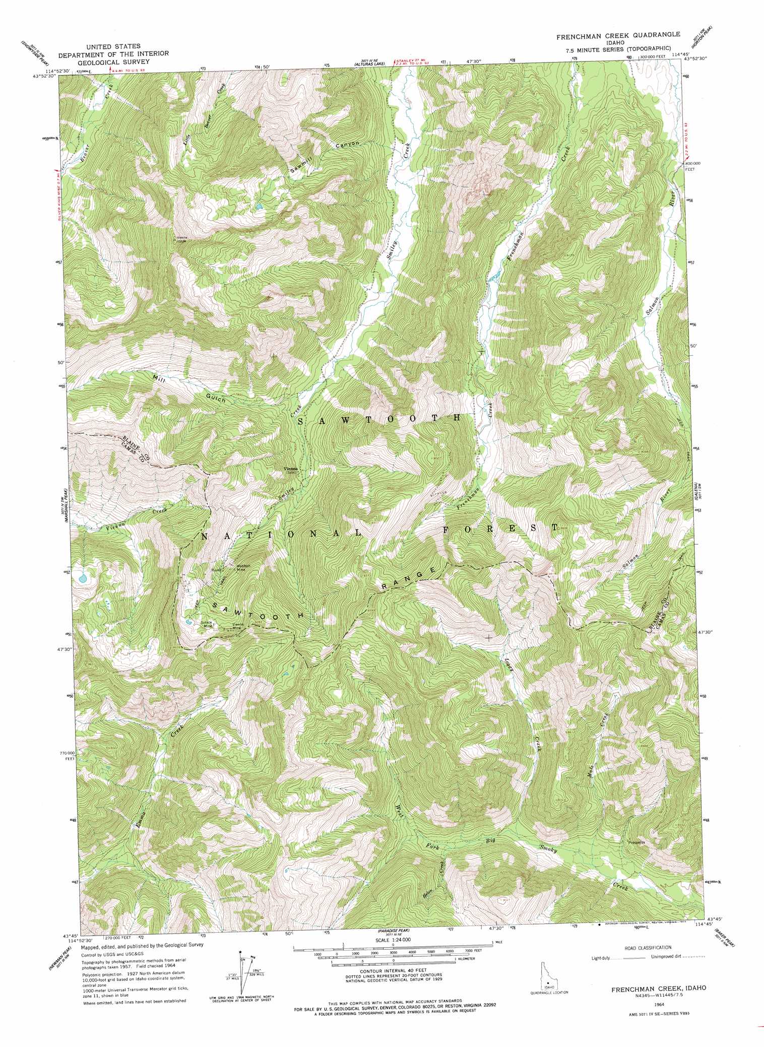
USGS Topo Quad 43114g7 - 1:24,000 scale
| Topo Map Name: | Frenchman Creek |
| USGS Topo Quad ID: | 43114g7 |
| Print Size: | ca. 21 1/4" wide x 27" high |
| Southeast Coordinates: | 43.75° N latitude / 114.75° W longitude |
| Map Center Coordinates: | 43.8125° N latitude / 114.8125° W longitude |
| U.S. State: | ID |
| Filename: | o43114g7.jpg |
| Download Map JPG Image: | Frenchman Creek topo map 1:24,000 scale |
| Map Type: | Topographic |
| Topo Series: | 7.5´ |
| Map Scale: | 1:24,000 |
| Source of Map Images: | United States Geological Survey (USGS) |
| Alternate Map Versions: |
Frenchman Creek ID 1964, updated 1965 Download PDF Buy paper map Frenchman Creek ID 1964, updated 1977 Download PDF Buy paper map Frenchman Creek ID 1964, updated 1977 Download PDF Buy paper map Frenchman Creek ID 2011 Download PDF Buy paper map Frenchman Creek ID 2013 Download PDF Buy paper map |
| FStopo: | US Forest Service topo Frenchman Creek is available: Download FStopo PDF Download FStopo TIF |
1:24,000 Topo Quads surrounding Frenchman Creek
Warbonnet Peak |
Mount Cramer |
Obsidian |
Washington Peak |
Boulder Chain Lakes |
Mount Everly |
Snowyside Peak |
Alturas Lake |
Horton Peak |
Galena Peak |
Atlanta East |
Marshall Peak |
Frenchman Creek |
Galena |
Easley Hot Springs |
Ross Peak |
Newman Peak |
Paradise Peak |
Baker Peak |
Boyle Mountain |
Jumbo Mountain |
Boardman Creek |
Sydney Butte |
Dollarhide Mountain |
Buttercup Mountain |
> Back to 43114e1 at 1:100,000 scale
> Back to 43114a1 at 1:250,000 scale
> Back to U.S. Topo Maps home
Frenchman Creek topo map: Gazetteer
Frenchman Creek: Mines
Solace Mine elevation 2721m 8927′Vienna Mine elevation 2755m 9038′
Webfoot Mine elevation 2555m 8382′
Frenchman Creek: Streams
Helen Creek elevation 2224m 7296′Loggy Creek elevation 2186m 7171′
Mule Creek elevation 2149m 7050′
Frenchman Creek: Valleys
Mill Gulch elevation 2286m 7500′Sawmill Canyon elevation 2271m 7450′
Frenchman Creek digital topo map on disk
Buy this Frenchman Creek topo map showing relief, roads, GPS coordinates and other geographical features, as a high-resolution digital map file on DVD: