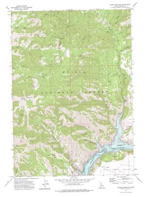
House Mountain Topo Map Idaho
To zoom in, hover over the map of House Mountain
USGS Topo Quad 43115d4 - 1:24,000 scale
| Topo Map Name: | House Mountain |
| USGS Topo Quad ID: | 43115d4 |
| Print Size: | ca. 21 1/4" wide x 27" high |
| Southeast Coordinates: | 43.375° N latitude / 115.375° W longitude |
| Map Center Coordinates: | 43.4375° N latitude / 115.4375° W longitude |
| U.S. State: | ID |
| Filename: | o43115d4.jpg |
| Download Map JPG Image: | House Mountain topo map 1:24,000 scale |
| Map Type: | Topographic |
| Topo Series: | 7.5´ |
| Map Scale: | 1:24,000 |
| Source of Map Images: | United States Geological Survey (USGS) |
| Alternate Map Versions: |
House Mountain ID 1973, updated 1976 Download PDF Buy paper map House Mountain ID 2011 Download PDF Buy paper map House Mountain ID 2013 Download PDF Buy paper map |
| FStopo: | US Forest Service topo House Mountain is available: Download FStopo PDF Download FStopo TIF |
1:24,000 Topo Quads surrounding House Mountain
> Back to 43115a1 at 1:100,000 scale
> Back to 43114a1 at 1:250,000 scale
> Back to U.S. Topo Maps home
House Mountain topo map: Gazetteer
House Mountain: Dams
Rhead Dam elevation 1361m 4465′House Mountain: Flats
White Flat elevation 1517m 4977′House Mountain: Springs
Daveys Spring elevation 1549m 5082′Ice Springs elevation 1521m 4990′
House Mountain: Streams
Camp Creek elevation 1473m 4832′Castle Creek elevation 1280m 4199′
Evans Creek elevation 1282m 4206′
Fall Creek elevation 1280m 4199′
Guay Creek elevation 1537m 5042′
Herrin Creek elevation 1508m 4947′
Knox Creek elevation 1522m 4993′
Lake Creek elevation 1281m 4202′
Little Wilson Creek elevation 1281m 4202′
Magpie Creek elevation 1279m 4196′
Meadow Creek elevation 1553m 5095′
Mill Creek elevation 1416m 4645′
Mineral Creek elevation 1529m 5016′
Myrtle Creek elevation 1532m 5026′
Rock Creek elevation 1281m 4202′
Tally Baker Creek elevation 1524m 5000′
Wilson Creek elevation 1280m 4199′
House Mountain: Summits
House Mountain elevation 2337m 7667′House Mountain digital topo map on disk
Buy this House Mountain topo map showing relief, roads, GPS coordinates and other geographical features, as a high-resolution digital map file on DVD:


