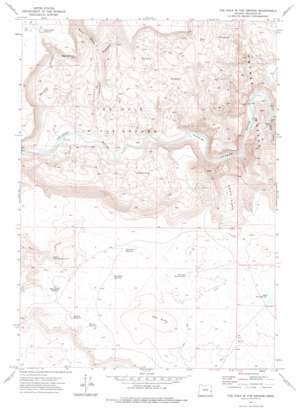
The Hole In The Ground Topo Map Oregon
To zoom in, hover over the map of The Hole In The Ground
USGS Topo Quad 43117b5 - 1:24,000 scale
| Topo Map Name: | The Hole In The Ground |
| USGS Topo Quad ID: | 43117b5 |
| Print Size: | ca. 21 1/4" wide x 27" high |
| Southeast Coordinates: | 43.125° N latitude / 117.5° W longitude |
| Map Center Coordinates: | 43.1875° N latitude / 117.5625° W longitude |
| U.S. State: | OR |
| Filename: | o43117b5.jpg |
| Download Map JPG Image: | The Hole In The Ground topo map 1:24,000 scale |
| Map Type: | Topographic |
| Topo Series: | 7.5´ |
| Map Scale: | 1:24,000 |
| Source of Map Images: | United States Geological Survey (USGS) |
| Alternate Map Versions: |
The Hole In The Ground OR 1972, updated 1975 Download PDF Buy paper map The Hole in the Ground OR 2011 Download PDF Buy paper map The Hole in the Ground OR 2014 Download PDF Buy paper map |
1:24,000 Topo Quads surrounding The Hole In The Ground
> Back to 43117a1 at 1:100,000 scale
> Back to 43116a1 at 1:250,000 scale
> Back to U.S. Topo Maps home
The Hole In The Ground topo map: Gazetteer
The Hole In The Ground: Areas
The Hole in the Ground elevation 933m 3061′The Hole In The Ground: Bars
Greeley Bar elevation 845m 2772′The Hole In The Ground: Cliffs
Riley Horn Point elevation 1287m 4222′The Hole In The Ground: Flats
Deer Park elevation 1173m 3848′The Hole In The Ground: Reservoirs
Deer Butte Reservoir elevation 1358m 4455′Deer Butte Reservoir Number One elevation 1367m 4484′
Lodge Reservoir Number One elevation 1390m 4560′
Morcom Reservoir elevation 1349m 4425′
Owyhee Rim Reservoir elevation 1281m 4202′
Riley Horn Reservoir elevation 1355m 4445′
Tuesday Reservoir elevation 1343m 4406′
Upper Fort Creek Reservoir elevation 1268m 4160′
Wednesday Reservoir elevation 1342m 4402′
The Hole In The Ground: Springs
Chalk Spring elevation 1182m 3877′East Spring elevation 1123m 3684′
Twomile Spring elevation 945m 3100′
West Spring elevation 1158m 3799′
The Hole In The Ground: Streams
Birch Creek elevation 829m 2719′Black Canyon Creek elevation 861m 2824′
The Hole In The Ground: Summits
Deer Butte elevation 1424m 4671′The Hole In The Ground: Valleys
Black Canyon elevation 1056m 3464′Juniper Canyon elevation 870m 2854′
Whiskey Canyon elevation 879m 2883′
The Hole In The Ground digital topo map on disk
Buy this The Hole In The Ground topo map showing relief, roads, GPS coordinates and other geographical features, as a high-resolution digital map file on DVD:


