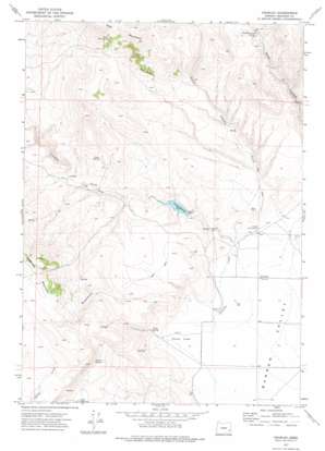
Crowley Topo Map Oregon
To zoom in, hover over the map of Crowley
USGS Topo Quad 43117c8 - 1:24,000 scale
| Topo Map Name: | Crowley |
| USGS Topo Quad ID: | 43117c8 |
| Print Size: | ca. 21 1/4" wide x 27" high |
| Southeast Coordinates: | 43.25° N latitude / 117.875° W longitude |
| Map Center Coordinates: | 43.3125° N latitude / 117.9375° W longitude |
| U.S. State: | OR |
| Filename: | o43117c8.jpg |
| Download Map JPG Image: | Crowley topo map 1:24,000 scale |
| Map Type: | Topographic |
| Topo Series: | 7.5´ |
| Map Scale: | 1:24,000 |
| Source of Map Images: | United States Geological Survey (USGS) |
| Alternate Map Versions: |
Crowley OR 1972, updated 1975 Download PDF Buy paper map Crowley OR 2011 Download PDF Buy paper map Crowley OR 2014 Download PDF Buy paper map |
1:24,000 Topo Quads surrounding Crowley
> Back to 43117a1 at 1:100,000 scale
> Back to 43116a1 at 1:250,000 scale
> Back to U.S. Topo Maps home
Crowley topo map: Gazetteer
Crowley: Dams
Crowley Dam elevation 1283m 4209′Crowley: Flats
Long Field elevation 1314m 4311′Porter Field elevation 1238m 4061′
Crowley: Populated Places
Crowley elevation 1243m 4078′Crowley: Post Offices
Crowley Post Office (historical) elevation 1243m 4078′Crowley: Reservoirs
Crowley Reservoir elevation 1283m 4209′Crowley: Springs
Jurries Springs elevation 1446m 4744′Long Spring elevation 1408m 4619′
Marking Corral Springs elevation 1437m 4714′
Porter Spring elevation 1285m 4215′
South Star Spring elevation 1645m 5396′
Twin Springs elevation 1514m 4967′
Whiskey Springs elevation 1447m 4747′
Crowley: Streams
Crowley Creek elevation 1236m 4055′Little Crowley Creek elevation 1251m 4104′
Rapid Creek elevation 1255m 4117′
Crowley: Valleys
Road Canyon elevation 1298m 4258′Crowley digital topo map on disk
Buy this Crowley topo map showing relief, roads, GPS coordinates and other geographical features, as a high-resolution digital map file on DVD:


