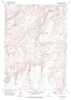
Avery Creek Topo Map Oregon
To zoom in, hover over the map of Avery Creek
USGS Topo Quad 43117f6 - 1:24,000 scale
| Topo Map Name: | Avery Creek |
| USGS Topo Quad ID: | 43117f6 |
| Print Size: | ca. 21 1/4" wide x 27" high |
| Southeast Coordinates: | 43.625° N latitude / 117.625° W longitude |
| Map Center Coordinates: | 43.6875° N latitude / 117.6875° W longitude |
| U.S. State: | OR |
| Filename: | o43117f6.jpg |
| Download Map JPG Image: | Avery Creek topo map 1:24,000 scale |
| Map Type: | Topographic |
| Topo Series: | 7.5´ |
| Map Scale: | 1:24,000 |
| Source of Map Images: | United States Geological Survey (USGS) |
| Alternate Map Versions: |
Avery Creek OR 1972, updated 1975 Download PDF Buy paper map Avery Creek OR 2011 Download PDF Buy paper map Avery Creek OR 2014 Download PDF Buy paper map |
1:24,000 Topo Quads surrounding Avery Creek
> Back to 43117e1 at 1:100,000 scale
> Back to 43116a1 at 1:250,000 scale
> Back to U.S. Topo Maps home
Avery Creek topo map: Gazetteer
Avery Creek: Dams
Squaw Creek Dam elevation 982m 3221′Avery Creek: Reservoirs
Avery Reservoir elevation 1297m 4255′Badger Reservoir elevation 1245m 4084′
Box Canyon Reservoir elevation 1380m 4527′
Divison Reservoir elevation 1207m 3959′
Fence Line Reservoir elevation 1195m 3920′
Good Place Reservoir elevation 1238m 4061′
Hidden Reservoir elevation 1263m 4143′
Knucklebone Reservoir elevation 1396m 4580′
Mesa Reservoir elevation 1374m 4507′
Military Reservoir elevation 1348m 4422′
North Drip Reservoir elevation 1000m 3280′
O'Toole Reservoir elevation 1285m 4215′
Petrified Reservoir elevation 1173m 3848′
Squaw Creek Reservoir elevation 982m 3221′
Avery Creek: Springs
Avery Spring elevation 1136m 3727′Chastain Spring elevation 1180m 3871′
Copeland Trough Spring elevation 971m 3185′
Cottonwood Cabin Spring elevation 993m 3257′
Drip Spring elevation 1133m 3717′
Drip Spring elevation 1083m 3553′
Gacey Spring elevation 988m 3241′
Mud Spring elevation 1167m 3828′
Squaw Creek Spring elevation 1109m 3638′
Stringer Spring elevation 1030m 3379′
Avery Creek: Streams
Avery Creek elevation 983m 3225′North Fork Squaw Creek elevation 885m 2903′
Sixteenmile Creek elevation 962m 3156′
South Fork Squaw Creek elevation 885m 2903′
Avery Creek digital topo map on disk
Buy this Avery Creek topo map showing relief, roads, GPS coordinates and other geographical features, as a high-resolution digital map file on DVD:


