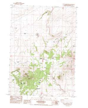
Little Juniper Mountain Topo Map Oregon
To zoom in, hover over the map of Little Juniper Mountain
USGS Topo Quad 43119b7 - 1:24,000 scale
| Topo Map Name: | Little Juniper Mountain |
| USGS Topo Quad ID: | 43119b7 |
| Print Size: | ca. 21 1/4" wide x 27" high |
| Southeast Coordinates: | 43.125° N latitude / 119.75° W longitude |
| Map Center Coordinates: | 43.1875° N latitude / 119.8125° W longitude |
| U.S. State: | OR |
| Filename: | o43119b7.jpg |
| Download Map JPG Image: | Little Juniper Mountain topo map 1:24,000 scale |
| Map Type: | Topographic |
| Topo Series: | 7.5´ |
| Map Scale: | 1:24,000 |
| Source of Map Images: | United States Geological Survey (USGS) |
| Alternate Map Versions: |
Little Juniper Mountain OR 1984, updated 1984 Download PDF Buy paper map Little Juniper Mountain OR 2011 Download PDF Buy paper map Little Juniper Mountain OR 2014 Download PDF Buy paper map |
1:24,000 Topo Quads surrounding Little Juniper Mountain
> Back to 43119a1 at 1:100,000 scale
> Back to 43118a1 at 1:250,000 scale
> Back to U.S. Topo Maps home
Little Juniper Mountain topo map: Gazetteer
Little Juniper Mountain: Flats
Dobie Flat elevation 1541m 5055′Linahan Lake elevation 1496m 4908′
Links Lake elevation 1540m 5052′
Little Links Lake elevation 1540m 5052′
Wolter Lake elevation 1504m 4934′
Little Juniper Mountain: Reservoirs
Bend Reservoir elevation 1531m 5022′Brandts Waterhole elevation 1477m 4845′
Bunchgrass Reservoir elevation 1568m 5144′
Cabin Waterhole elevation 1562m 5124′
Clear Waterhole elevation 1538m 5045′
Cogans Waterhole elevation 1512m 4960′
Deadhorse Pass Reservoir elevation 1540m 5052′
Five Corners Reservoir elevation 1611m 5285′
Horsehead Reservoir elevation 1538m 5045′
Hunters Reservoir elevation 1544m 5065′
Hutton Waterhole elevation 1540m 5052′
Jerrys Homestead Reservoir elevation 1527m 5009′
Little Juniper Reservoir elevation 1554m 5098′
Little Tank elevation 1403m 4603′
North Desert Waterhole Number Eleven elevation 1530m 5019′
Sandy Bed Reservoir elevation 1531m 5022′
Settlement Reservoir elevation 1390m 4560′
Smoke Out Canyon Reservoir elevation 1519m 4983′
Stormy Reservoir elevation 1472m 4829′
Stovepipe Reservoir elevation 1446m 4744′
Three Forks Waterhole elevation 1533m 5029′
Walters Lake Waterhole elevation 1504m 4934′
Little Juniper Mountain: Springs
Southside Spring elevation 1608m 5275′Little Juniper Mountain: Streams
Smokeout Creek elevation 1417m 4648′Little Juniper Mountain: Summits
Little Juniper Mountain elevation 1808m 5931′Little Juniper Mountain: Valleys
Smoke Out Canyon elevation 1434m 4704′Wagon Draw elevation 1427m 4681′
Little Juniper Mountain: Wells
Little Juniper Well elevation 1499m 4917′Little Juniper Mountain digital topo map on disk
Buy this Little Juniper Mountain topo map showing relief, roads, GPS coordinates and other geographical features, as a high-resolution digital map file on DVD:


