Oakerman Lakes Topo Map Oregon
To zoom in, hover over the map of Oakerman Lakes
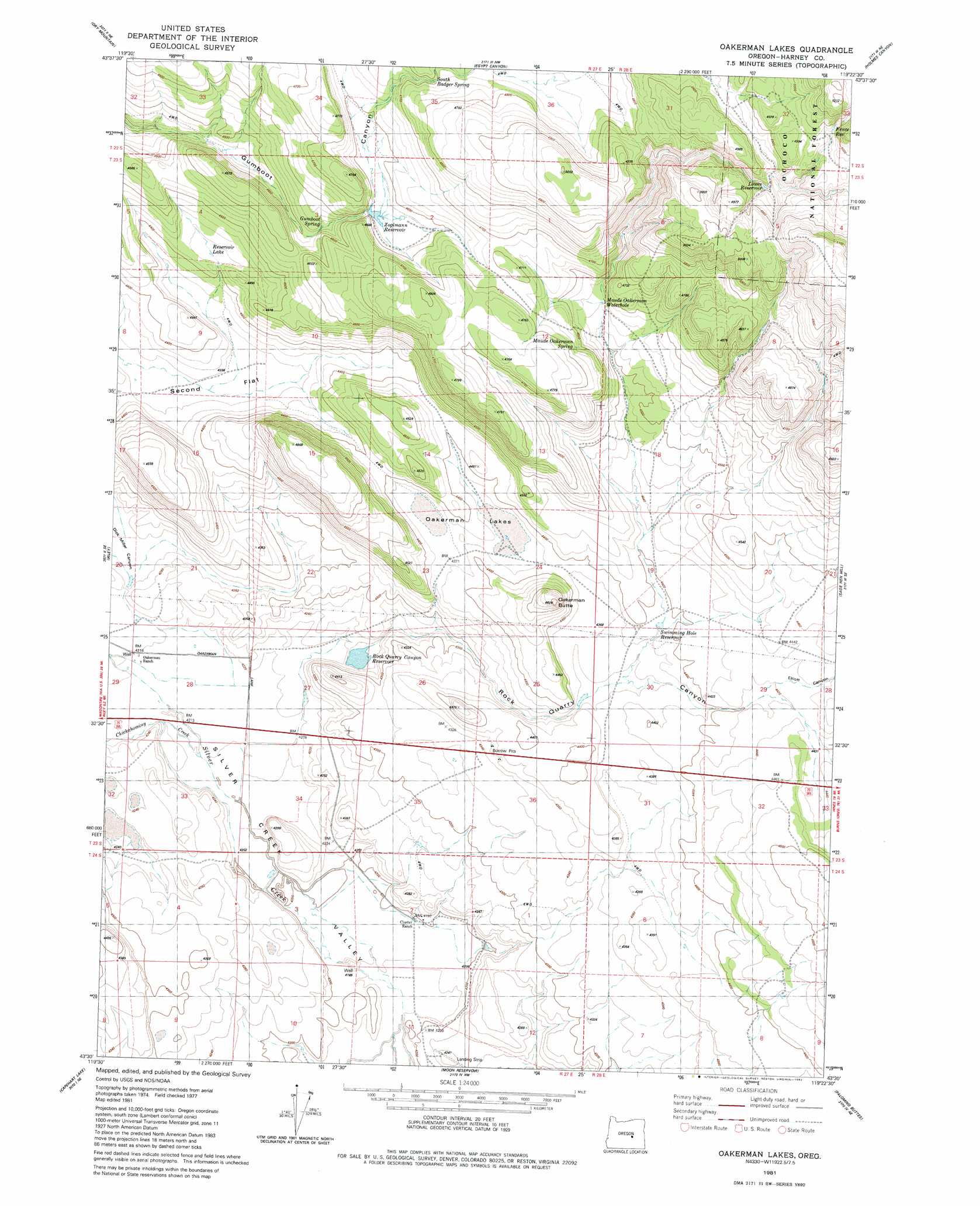
USGS Topo Quad 43119e4 - 1:24,000 scale
| Topo Map Name: | Oakerman Lakes |
| USGS Topo Quad ID: | 43119e4 |
| Print Size: | ca. 21 1/4" wide x 27" high |
| Southeast Coordinates: | 43.5° N latitude / 119.375° W longitude |
| Map Center Coordinates: | 43.5625° N latitude / 119.4375° W longitude |
| U.S. State: | OR |
| Filename: | o43119e4.jpg |
| Download Map JPG Image: | Oakerman Lakes topo map 1:24,000 scale |
| Map Type: | Topographic |
| Topo Series: | 7.5´ |
| Map Scale: | 1:24,000 |
| Source of Map Images: | United States Geological Survey (USGS) |
| Alternate Map Versions: |
Oakerman Lakes OR 1981, updated 1982 Download PDF Buy paper map Oakerman Lakes OR 1992, updated 1997 Download PDF Buy paper map Oakerman Lakes OR 2011 Download PDF Buy paper map Oakerman Lakes OR 2014 Download PDF Buy paper map |
| FStopo: | US Forest Service topo Oakerman Lakes is available: Download FStopo PDF Download FStopo TIF |
1:24,000 Topo Quads surrounding Oakerman Lakes
Buck Spring |
Donnelly Butte |
Bear Canyon Butte |
Hughet Valley |
Landing Creek |
Camp Currey Spring |
Dry Mountain |
Egypt Canyon |
Holmes Canyon |
Burns Ne |
Suntex |
Riley |
Oakerman Lakes |
Sage Hen Hill |
Burns Butte |
Squaw Butte |
Capehart Lake |
Moon Reservoir |
Palomino Buttes |
Weaver Lake |
Alec Butte |
Lake On The Trail |
Iron Mountain Flat |
Stinking Lake |
Northwest Harney Lake |
> Back to 43119e1 at 1:100,000 scale
> Back to 43118a1 at 1:250,000 scale
> Back to U.S. Topo Maps home
Oakerman Lakes topo map: Gazetteer
Oakerman Lakes: Dams
Rock Quarry Canyon Dam elevation 1307m 4288′Zoglmann Dam elevation 1394m 4573′
Oakerman Lakes: Reservoirs
Upper Rock Quarry Canyon Reservoir elevation 1328m 4356′Zoglmann Reservoir elevation 1394m 4573′
Oakerman Lakes: Springs
Maude Oakerman Spring elevation 1423m 4668′Oakerman Lakes: Streams
Virginia Creek elevation 1281m 4202′Oakerman Lakes: Summits
Oakerman Butte elevation 1411m 4629′Oakerman Lakes: Valleys
Dick Miller Canyon elevation 1291m 4235′Elliott Canyon elevation 1346m 4416′
Rock Quarry Canyon elevation 1292m 4238′
Oakerman Lakes digital topo map on disk
Buy this Oakerman Lakes topo map showing relief, roads, GPS coordinates and other geographical features, as a high-resolution digital map file on DVD: