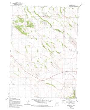
Potato Hills Topo Map Oregon
To zoom in, hover over the map of Potato Hills
USGS Topo Quad 43119e7 - 1:24,000 scale
| Topo Map Name: | Potato Hills |
| USGS Topo Quad ID: | 43119e7 |
| Print Size: | ca. 21 1/4" wide x 27" high |
| Southeast Coordinates: | 43.5° N latitude / 119.75° W longitude |
| Map Center Coordinates: | 43.5625° N latitude / 119.8125° W longitude |
| U.S. State: | OR |
| Filename: | o43119e7.jpg |
| Download Map JPG Image: | Potato Hills topo map 1:24,000 scale |
| Map Type: | Topographic |
| Topo Series: | 7.5´ |
| Map Scale: | 1:24,000 |
| Source of Map Images: | United States Geological Survey (USGS) |
| Alternate Map Versions: |
Potato Hills OR 1981, updated 1981 Download PDF Buy paper map Potato Hills OR 2011 Download PDF Buy paper map Potato Hills OR 2014 Download PDF Buy paper map |
1:24,000 Topo Quads surrounding Potato Hills
> Back to 43119e1 at 1:100,000 scale
> Back to 43118a1 at 1:250,000 scale
> Back to U.S. Topo Maps home
Potato Hills topo map: Gazetteer
Potato Hills: Canals
Sheep L Ditch elevation 1353m 4438′Potato Hills: Flats
Lamb Lake elevation 1384m 4540′Potato Hills: Lakes
Cecil Lake elevation 1490m 4888′Sheep Lake elevation 1382m 4534′
Potato Hills: Reservoirs
North Gap Waterhole elevation 1406m 4612′Potato Hill Reservoir elevation 1453m 4767′
Roadside Reservoir elevation 1407m 4616′
Potato Hills digital topo map on disk
Buy this Potato Hills topo map showing relief, roads, GPS coordinates and other geographical features, as a high-resolution digital map file on DVD:


