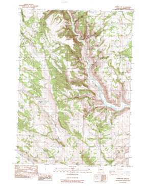
Burns Ne Topo Map Oregon
To zoom in, hover over the map of Burns Ne
USGS Topo Quad 43119f2 - 1:24,000 scale
| Topo Map Name: | Burns Ne |
| USGS Topo Quad ID: | 43119f2 |
| Print Size: | ca. 21 1/4" wide x 27" high |
| Southeast Coordinates: | 43.625° N latitude / 119.125° W longitude |
| Map Center Coordinates: | 43.6875° N latitude / 119.1875° W longitude |
| U.S. State: | OR |
| Filename: | o43119f2.jpg |
| Download Map JPG Image: | Burns Ne topo map 1:24,000 scale |
| Map Type: | Topographic |
| Topo Series: | 7.5´ |
| Map Scale: | 1:24,000 |
| Source of Map Images: | United States Geological Survey (USGS) |
| Alternate Map Versions: |
Burns NW OR 1990, updated 1990 Download PDF Buy paper map Burns NW OR 2011 Download PDF Buy paper map Burns NW OR 2014 Download PDF Buy paper map |
1:24,000 Topo Quads surrounding Burns Ne
> Back to 43119e1 at 1:100,000 scale
> Back to 43118a1 at 1:250,000 scale
> Back to U.S. Topo Maps home
Burns Ne topo map: Gazetteer
Burns Ne: Basins
Big Basin elevation 1543m 5062′Burns Ne: Flats
Brown Flat elevation 1425m 4675′Green Flat elevation 1533m 5029′
Burns Ne: Reservoirs
Charlie Creek Reservoir elevation 1487m 4878′Clemens Spring Reservoir elevation 1402m 4599′
Green Flat Reservoir elevation 1507m 4944′
Juniper Reservoir elevation 1549m 5082′
Shoeffer Reservoir elevation 1575m 5167′
Thomas Spring Reservoir elevation 1591m 5219′
Burns Ne: Ridges
Mud Ridge elevation 1466m 4809′Burns Ne: Springs
Cherry Spring elevation 1445m 4740′Gravel Spring elevation 1389m 4557′
Jumbo Spring elevation 1436m 4711′
Parker Springs elevation 1341m 4399′
Triple Springs elevation 1458m 4783′
Burns Ne: Streams
Charlie Creek elevation 1283m 4209′Cherry Creek elevation 1291m 4235′
Squaw Creek elevation 1287m 4222′
Burns Ne: Valleys
Boone Canyon elevation 1282m 4206′Boulder Canyon elevation 1289m 4229′
Cave Gulch elevation 1280m 4199′
Silvies Canyon elevation 1287m 4222′
Burns Ne digital topo map on disk
Buy this Burns Ne topo map showing relief, roads, GPS coordinates and other geographical features, as a high-resolution digital map file on DVD:


