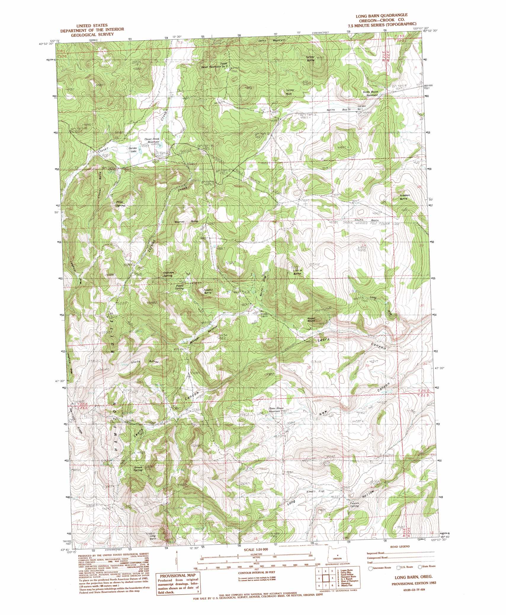
Long Barn Topo Map Oregon
To zoom in, hover over the map of Long Barn
USGS Topo Quad 43120g2 - 1:24,000 scale
| Topo Map Name: | Long Barn |
| USGS Topo Quad ID: | 43120g2 |
| Print Size: | ca. 21 1/4" wide x 27" high |
| Southeast Coordinates: | 43.75° N latitude / 120.125° W longitude |
| Map Center Coordinates: | 43.8125° N latitude / 120.1875° W longitude |
| U.S. State: | OR |
| Filename: | o43120g2.jpg |
| Download Map JPG Image: | Long Barn topo map 1:24,000 scale |
| Map Type: | Topographic |
| Topo Series: | 7.5´ |
| Map Scale: | 1:24,000 |
| Source of Map Images: | United States Geological Survey (USGS) |
| Alternate Map Versions: |
Long Barn OR 1983, updated 1983 Download PDF Buy paper map Long Barn OR 2011 Download PDF Buy paper map Long Barn OR 2014 Download PDF Buy paper map |
1:24,000 Topo Quads surrounding Long Barn
Mule Deer Ridge |
Drake Butte |
Arrowwood Point |
Liggett Table |
Maupin Butte |
Pringle Flat |
Logan Butte |
Gerry Mountain |
Sand Hollow |
Hardin Ranch |
Imperial Valley North |
Hampton Butte |
Long Barn |
G. I. Ranch |
Ibex Butte |
Imperial Valley South |
West Of Hampston |
Hampton |
Misery Flat |
Dust Bowl |
Frederick Butte |
Benjamin Lake |
Potato Lake |
Glass Butte |
Hat Butte |
> Back to 43120e1 at 1:100,000 scale
> Back to 43120a1 at 1:250,000 scale
> Back to U.S. Topo Maps home
No gazetteer data is available for the Long Barn topo map sheet.
Long Barn digital topo map on disk
Buy this Long Barn topo map showing relief, roads, GPS coordinates and other geographical features, as a high-resolution digital map file on DVD: