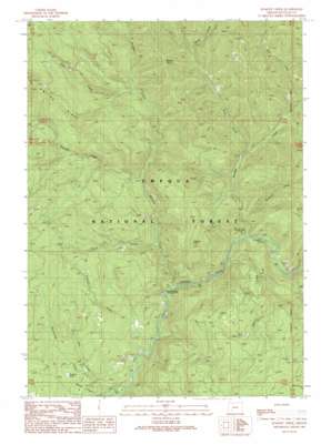
Dumont Creek Topo Map Oregon
To zoom in, hover over the map of Dumont Creek
USGS Topo Quad 43122a7 - 1:24,000 scale
| Topo Map Name: | Dumont Creek |
| USGS Topo Quad ID: | 43122a7 |
| Print Size: | ca. 21 1/4" wide x 27" high |
| Southeast Coordinates: | 43° N latitude / 122.75° W longitude |
| Map Center Coordinates: | 43.0625° N latitude / 122.8125° W longitude |
| U.S. State: | OR |
| Filename: | o43122a7.jpg |
| Download Map JPG Image: | Dumont Creek topo map 1:24,000 scale |
| Map Type: | Topographic |
| Topo Series: | 7.5´ |
| Map Scale: | 1:24,000 |
| Source of Map Images: | United States Geological Survey (USGS) |
| Alternate Map Versions: |
Dumont Creek OR 1989, updated 1990 Download PDF Buy paper map Dumont Creek OR 1998, updated 2000 Download PDF Buy paper map Dumont Creek OR 2011 Download PDF Buy paper map Dumont Creek OR 2014 Download PDF Buy paper map |
| FStopo: | US Forest Service topo Dumont Creek is available: Download FStopo PDF Download FStopo TIF |
1:24,000 Topo Quads surrounding Dumont Creek
> Back to 43122a1 at 1:100,000 scale
> Back to 43122a1 at 1:250,000 scale
> Back to U.S. Topo Maps home
Dumont Creek topo map: Gazetteer
Dumont Creek: Falls
Campbell Falls elevation 429m 1407′Dumont Creek: Pillars
Boulder Rock elevation 1057m 3467′Dumont Creek: Ridges
Smith Ridge elevation 1243m 4078′Dumont Creek: Streams
Boulder Creek elevation 430m 1410′Budd Creek elevation 465m 1525′
Clayton Creek elevation 647m 2122′
Dry Creek elevation 381m 1250′
Dumont Creek elevation 409m 1341′
Francis Creek elevation 419m 1374′
Hutchinson Creek elevation 461m 1512′
Radford Creek elevation 388m 1272′
Sam Creek elevation 382m 1253′
Slick Creek elevation 482m 1581′
Straight Creek elevation 508m 1666′
West Creek elevation 591m 1938′
Zinc Creek elevation 441m 1446′
Dumont Creek: Summits
Clayton Point elevation 946m 3103′Hob Knob elevation 862m 2828′
Dumont Creek: Trails
Straight Creek Trail elevation 991m 3251′Dumont Creek digital topo map on disk
Buy this Dumont Creek topo map showing relief, roads, GPS coordinates and other geographical features, as a high-resolution digital map file on DVD:


