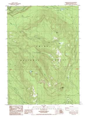
Garwood Butte Topo Map Oregon
To zoom in, hover over the map of Garwood Butte
USGS Topo Quad 43122b3 - 1:24,000 scale
| Topo Map Name: | Garwood Butte |
| USGS Topo Quad ID: | 43122b3 |
| Print Size: | ca. 21 1/4" wide x 27" high |
| Southeast Coordinates: | 43.125° N latitude / 122.25° W longitude |
| Map Center Coordinates: | 43.1875° N latitude / 122.3125° W longitude |
| U.S. State: | OR |
| Filename: | o43122b3.jpg |
| Download Map JPG Image: | Garwood Butte topo map 1:24,000 scale |
| Map Type: | Topographic |
| Topo Series: | 7.5´ |
| Map Scale: | 1:24,000 |
| Source of Map Images: | United States Geological Survey (USGS) |
| Alternate Map Versions: |
Garwood Butte OR 1985, updated 1985 Download PDF Buy paper map Garwood Butte OR 1998, updated 2000 Download PDF Buy paper map Garwood Butte OR 2011 Download PDF Buy paper map Garwood Butte OR 2014 Download PDF Buy paper map |
| FStopo: | US Forest Service topo Garwood Butte is available: Download FStopo PDF Download FStopo TIF |
1:24,000 Topo Quads surrounding Garwood Butte
> Back to 43122a1 at 1:100,000 scale
> Back to 43122a1 at 1:250,000 scale
> Back to U.S. Topo Maps home
Garwood Butte topo map: Gazetteer
Garwood Butte: Canals
Clearwater Canal Number 2 elevation 980m 3215′Garwood Butte: Dams
Clearwater Number One Diversion Dam elevation 1178m 3864′Garwood Butte: Falls
Whitehorse Falls elevation 1116m 3661′Garwood Butte: Flats
Beartrap Meadow elevation 1680m 5511′Dog Prairie elevation 1438m 4717′
Skookum Prairie elevation 1824m 5984′
Garwood Butte: Lakes
Skookum Lake elevation 1690m 5544′Three Lakes elevation 1845m 6053′
Garwood Butte: Parks
Three Lakes Camp elevation 1847m 6059′Garwood Butte: Reservoirs
Stump Lake elevation 1178m 3864′Garwood Butte: Streams
Bear Creek elevation 1178m 3864′Bear Creek elevation 1289m 4229′
Camp Creek elevation 1157m 3795′
Chinquapin Creek elevation 899m 2949′
Dog Prairie Creek elevation 1225m 4019′
Lava Creek elevation 1216m 3989′
Maple Creek elevation 951m 3120′
Skookum Creek elevation 1316m 4317′
Trap Creek elevation 1161m 3809′
Garwood Butte: Summits
Garwood Butte elevation 2113m 6932′Trap Mountain elevation 1869m 6131′
Garwood Butte: Trails
Dog Prairie Trail elevation 1716m 5629′Rough Creek Trail elevation 1760m 5774′
Garwood Butte: Valleys
Devils Canyon elevation 1262m 4140′Garwood Butte digital topo map on disk
Buy this Garwood Butte topo map showing relief, roads, GPS coordinates and other geographical features, as a high-resolution digital map file on DVD:


