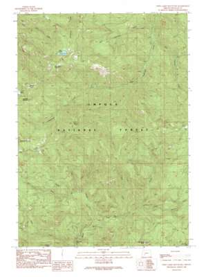
Twin Lakes Mountain Topo Map Oregon
To zoom in, hover over the map of Twin Lakes Mountain
USGS Topo Quad 43122b5 - 1:24,000 scale
| Topo Map Name: | Twin Lakes Mountain |
| USGS Topo Quad ID: | 43122b5 |
| Print Size: | ca. 21 1/4" wide x 27" high |
| Southeast Coordinates: | 43.125° N latitude / 122.5° W longitude |
| Map Center Coordinates: | 43.1875° N latitude / 122.5625° W longitude |
| U.S. State: | OR |
| Filename: | o43122b5.jpg |
| Download Map JPG Image: | Twin Lakes Mountain topo map 1:24,000 scale |
| Map Type: | Topographic |
| Topo Series: | 7.5´ |
| Map Scale: | 1:24,000 |
| Source of Map Images: | United States Geological Survey (USGS) |
| Alternate Map Versions: |
Twin Lakes Mountain OR 1989, updated 1990 Download PDF Buy paper map Twin Lakes Mountain OR 1997, updated 1998 Download PDF Buy paper map Twin Lakes Mountain OR 2011 Download PDF Buy paper map Twin Lakes Mountain OR 2014 Download PDF Buy paper map |
| FStopo: | US Forest Service topo Twin Lakes Mountain is available: Download FStopo PDF Download FStopo TIF |
1:24,000 Topo Quads surrounding Twin Lakes Mountain
> Back to 43122a1 at 1:100,000 scale
> Back to 43122a1 at 1:250,000 scale
> Back to U.S. Topo Maps home
Twin Lakes Mountain topo map: Gazetteer
Twin Lakes Mountain: Basins
Bear Wallow elevation 1523m 4996′Twin Lakes Mountain: Falls
Deer Lick Falls elevation 734m 2408′Twin Lakes Mountain: Flats
Cow Prairie elevation 1459m 4786′Sheep Prairie elevation 1512m 4960′
Twin Lakes Mountain: Lakes
Mud Lake elevation 1442m 4730′Twin Lakes elevation 1535m 5036′
Twin Lakes Mountain: Mines
Stroubs Mine elevation 855m 2805′Twin Lakes Mountain: Pillars
Little Black Rock elevation 1358m 4455′Twin Lakes Mountain: Streams
Bow Creek elevation 969m 3179′Boze Creek elevation 811m 2660′
French Creek elevation 825m 2706′
Prong Creek elevation 760m 2493′
Twin Lakes Mountain: Summits
Buckhead Mountain elevation 1636m 5367′Doehead Mountain elevation 1667m 5469′
Raven Rock elevation 1575m 5167′
Twin Lakes Mountain elevation 1787m 5862′
Twin Lakes Mountain: Trails
BVD Trail elevation 1472m 4829′Copeland Creek Trail elevation 1096m 3595′
Emile Trail elevation 1494m 4901′
Twin Lakes Trail elevation 1764m 5787′
Twin Lakes Mountain digital topo map on disk
Buy this Twin Lakes Mountain topo map showing relief, roads, GPS coordinates and other geographical features, as a high-resolution digital map file on DVD:


