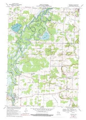
Readfield Topo Map Wisconsin
To zoom in, hover over the map of Readfield
USGS Topo Quad 44088c7 - 1:24,000 scale
| Topo Map Name: | Readfield |
| USGS Topo Quad ID: | 44088c7 |
| Print Size: | ca. 21 1/4" wide x 27" high |
| Southeast Coordinates: | 44.25° N latitude / 88.75° W longitude |
| Map Center Coordinates: | 44.3125° N latitude / 88.8125° W longitude |
| U.S. State: | WI |
| Filename: | o44088c7.jpg |
| Download Map JPG Image: | Readfield topo map 1:24,000 scale |
| Map Type: | Topographic |
| Topo Series: | 7.5´ |
| Map Scale: | 1:24,000 |
| Source of Map Images: | United States Geological Survey (USGS) |
| Alternate Map Versions: |
Readfield WI 1969, updated 1971 Download PDF Buy paper map Readfield WI 1969, updated 1976 Download PDF Buy paper map Readfield WI 1969, updated 1991 Download PDF Buy paper map Readfield WI 2010 Download PDF Buy paper map Readfield WI 2013 Download PDF Buy paper map Readfield WI 2016 Download PDF Buy paper map |
1:24,000 Topo Quads surrounding Readfield
> Back to 44088a1 at 1:100,000 scale
> Back to 44088a1 at 1:250,000 scale
> Back to U.S. Topo Maps home
Readfield topo map: Gazetteer
Readfield: Bays
Miller Bayou elevation 228m 748′Readfield: Bends
Devils Elbow elevation 229m 751′Readfield: Guts
Big Cut elevation 229m 751′Colic Bayou elevation 228m 748′
Horseshoe Bayou elevation 228m 748′
Jenny Bayou elevation 228m 748′
Little Cut elevation 228m 748′
Little Horseshoe Bayou elevation 229m 751′
Lowell Bayou elevation 228m 748′
Mill Cut elevation 228m 748′
Templeton Bayou elevation 228m 748′
Traders Bayou elevation 228m 748′
Readfield: Islands
Little Boom Island elevation 229m 751′Readfield: Lakes
Cincoe Lake elevation 228m 748′Partridge Crop Lake elevation 228m 748′
Tom Bayou elevation 229m 751′
Readfield: Parks
Poppy's Rock State Natural Area elevation 247m 810′Readfield: Populated Places
Fremont elevation 229m 751′North Readfield elevation 249m 816′
Readfield elevation 267m 875′
Red Banks elevation 234m 767′
Shaw Landing elevation 229m 751′
Readfield: Streams
Potters Creek elevation 229m 751′Readfield digital topo map on disk
Buy this Readfield topo map showing relief, roads, GPS coordinates and other geographical features, as a high-resolution digital map file on DVD:


