Pulaski Topo Map Wisconsin
To zoom in, hover over the map of Pulaski
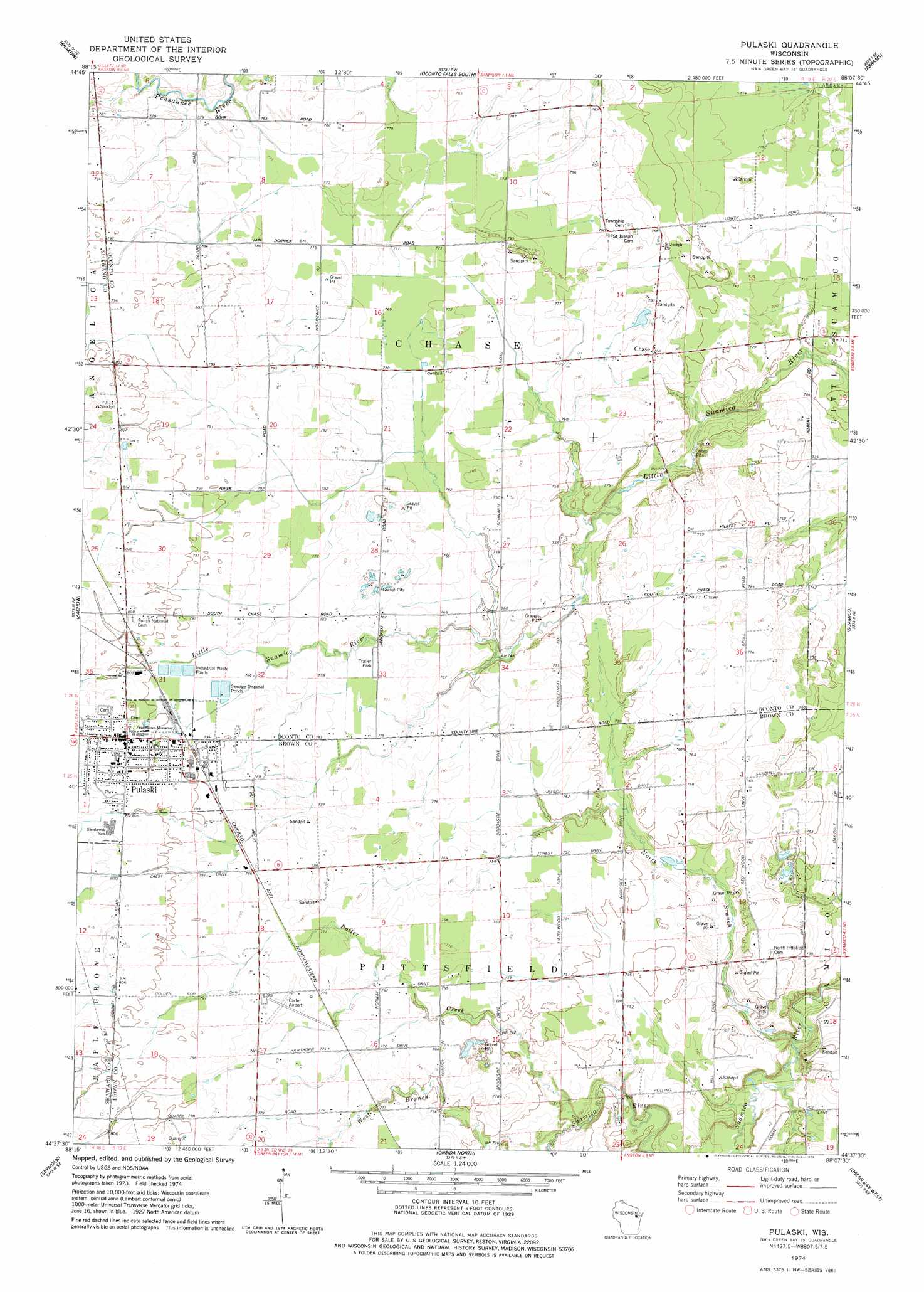
USGS Topo Quad 44088f2 - 1:24,000 scale
| Topo Map Name: | Pulaski |
| USGS Topo Quad ID: | 44088f2 |
| Print Size: | ca. 21 1/4" wide x 27" high |
| Southeast Coordinates: | 44.625° N latitude / 88.125° W longitude |
| Map Center Coordinates: | 44.6875° N latitude / 88.1875° W longitude |
| U.S. State: | WI |
| Filename: | o44088f2.jpg |
| Download Map JPG Image: | Pulaski topo map 1:24,000 scale |
| Map Type: | Topographic |
| Topo Series: | 7.5´ |
| Map Scale: | 1:24,000 |
| Source of Map Images: | United States Geological Survey (USGS) |
| Alternate Map Versions: |
Pulaski WI 1974, updated 1978 Download PDF Buy paper map Pulaski WI 2010 Download PDF Buy paper map Pulaski WI 2013 Download PDF Buy paper map Pulaski WI 2016 Download PDF Buy paper map |
1:24,000 Topo Quads surrounding Pulaski
Berry Lake |
Gillett |
Oconto Falls North |
Lena |
Oconto West |
Cecil |
Krakow |
Oconto Falls South |
Abrams |
Pensaukee |
Bonduel |
Zachow |
Pulaski |
Suamico |
Little Tail Point |
Nichols |
Seymour |
Oneida North |
Green Bay West |
Green Bay East |
Black Creek |
Freedom |
Oneida South |
De Pere |
Bellevue |
> Back to 44088e1 at 1:100,000 scale
> Back to 44088a1 at 1:250,000 scale
> Back to U.S. Topo Maps home
Pulaski topo map: Gazetteer
Pulaski: Airports
Carter Airport elevation 237m 777′Pulaski: Populated Places
Chase elevation 235m 770′Pulaski elevation 246m 807′
South Chase elevation 236m 774′
Pulaski: Streams
North Branch Suamico River elevation 200m 656′Potter Creek elevation 213m 698′
Pulaski digital topo map on disk
Buy this Pulaski topo map showing relief, roads, GPS coordinates and other geographical features, as a high-resolution digital map file on DVD: