Dewey Marsh Topo Map Wisconsin
To zoom in, hover over the map of Dewey Marsh
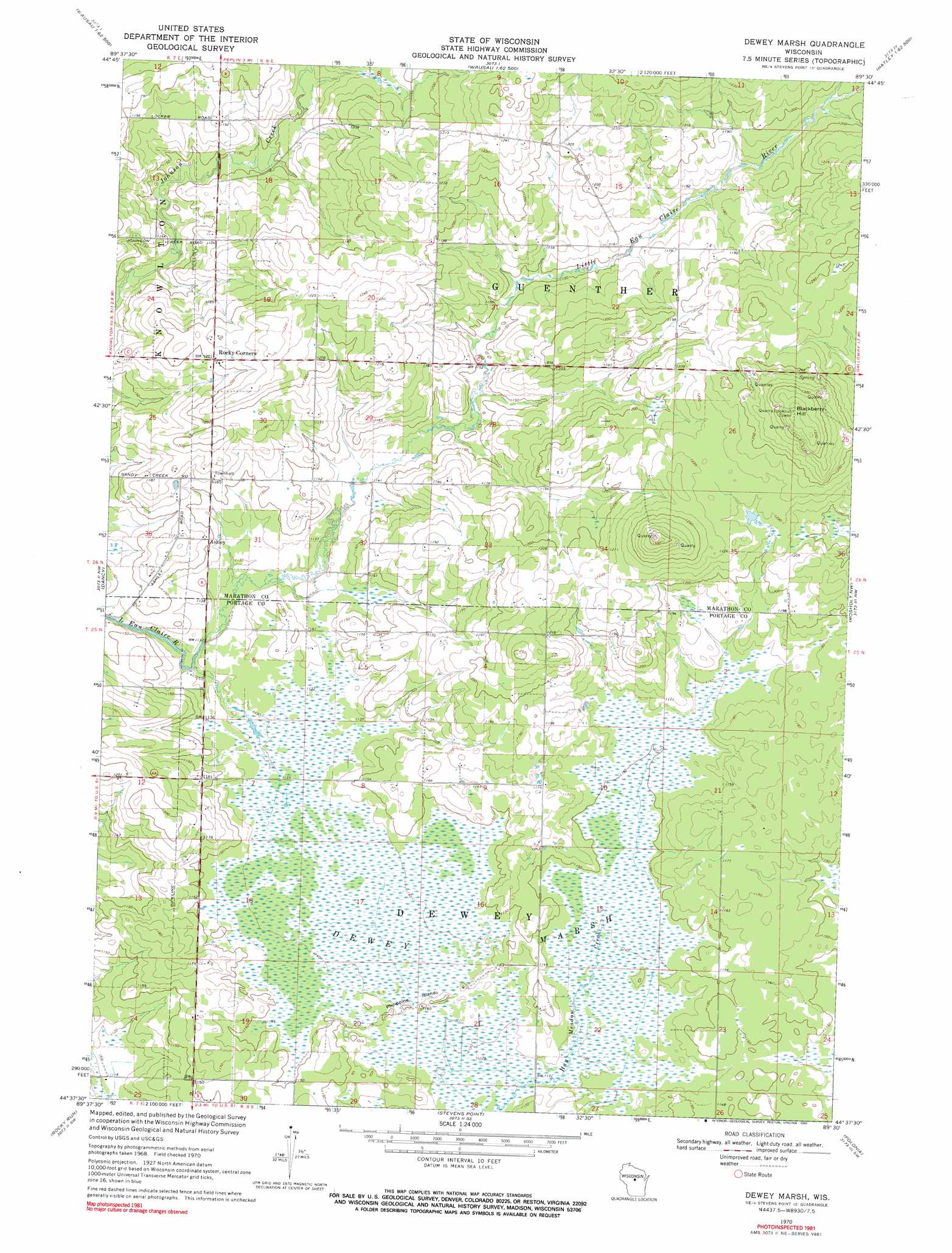
USGS Topo Quad 44089f5 - 1:24,000 scale
| Topo Map Name: | Dewey Marsh |
| USGS Topo Quad ID: | 44089f5 |
| Print Size: | ca. 21 1/4" wide x 27" high |
| Southeast Coordinates: | 44.625° N latitude / 89.5° W longitude |
| Map Center Coordinates: | 44.6875° N latitude / 89.5625° W longitude |
| U.S. State: | WI |
| Filename: | o44089f5.jpg |
| Download Map JPG Image: | Dewey Marsh topo map 1:24,000 scale |
| Map Type: | Topographic |
| Topo Series: | 7.5´ |
| Map Scale: | 1:24,000 |
| Source of Map Images: | United States Geological Survey (USGS) |
| Alternate Map Versions: |
Dewey Marsh WI 1970, updated 1972 Download PDF Buy paper map Dewey Marsh WI 1970, updated 1990 Download PDF Buy paper map Dewey Marsh WI 2010 Download PDF Buy paper map Dewey Marsh WI 2013 Download PDF Buy paper map Dewey Marsh WI 2015 Download PDF Buy paper map |
1:24,000 Topo Quads surrounding Dewey Marsh
Marathon |
Wausau West |
Wausau East |
Ringle |
Hatley |
Halder |
Mosinee |
Peplin |
Bevent |
Mission Lake |
Big Eau Pleine Reservoir |
Dancy |
Dewey Marsh |
Rosholt Nw |
Rosholt |
Junction City |
Rocky Run |
Stevens Point |
Polonia |
New Hope |
Wisconsin Rapids North |
Meehan |
Whiting |
Arnott |
Amherst |
> Back to 44089e1 at 1:100,000 scale
> Back to 44088a1 at 1:250,000 scale
> Back to U.S. Topo Maps home
Dewey Marsh topo map: Gazetteer
Dewey Marsh: Parks
Dewey Marsh State Natural Area elevation 349m 1145′Dewey Marsh: Populated Places
Ashley elevation 352m 1154′Rocky Corners elevation 366m 1200′
Dewey Marsh: Ridges
Philippine Islands elevation 351m 1151′Dewey Marsh: Summits
Blackberry Hill elevation 409m 1341′Dewey Marsh: Swamps
Dewey Marsh elevation 347m 1138′Dewey Marsh digital topo map on disk
Buy this Dewey Marsh topo map showing relief, roads, GPS coordinates and other geographical features, as a high-resolution digital map file on DVD: