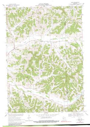
Hegg Topo Map Wisconsin
To zoom in, hover over the map of Hegg
USGS Topo Quad 44091b2 - 1:24,000 scale
| Topo Map Name: | Hegg |
| USGS Topo Quad ID: | 44091b2 |
| Print Size: | ca. 21 1/4" wide x 27" high |
| Southeast Coordinates: | 44.125° N latitude / 91.125° W longitude |
| Map Center Coordinates: | 44.1875° N latitude / 91.1875° W longitude |
| U.S. State: | WI |
| Filename: | o44091b2.jpg |
| Download Map JPG Image: | Hegg topo map 1:24,000 scale |
| Map Type: | Topographic |
| Topo Series: | 7.5´ |
| Map Scale: | 1:24,000 |
| Source of Map Images: | United States Geological Survey (USGS) |
| Alternate Map Versions: |
Hegg WI 1969, updated 1971 Download PDF Buy paper map Hegg WI 1969, updated 1991 Download PDF Buy paper map Hegg WI 2010 Download PDF Buy paper map Hegg WI 2013 Download PDF Buy paper map Hegg WI 2015 Download PDF Buy paper map |
1:24,000 Topo Quads surrounding Hegg
> Back to 44091a1 at 1:100,000 scale
> Back to 44090a1 at 1:250,000 scale
> Back to U.S. Topo Maps home
Hegg topo map: Gazetteer
Hegg: Populated Places
Beachs Corners elevation 245m 803′Hegg elevation 253m 830′
Hegg: Streams
Bear Creek elevation 243m 797′Columbus Creek elevation 262m 859′
Joe Coulee Creek elevation 253m 830′
Salzwedel Coulee Creek elevation 244m 800′
Washington Coulee Creek elevation 255m 836′
Hegg: Summits
Thimble Peak elevation 363m 1190′Hegg: Valleys
Borreson Coulee elevation 254m 833′German Coulee elevation 268m 879′
Joe Coulee elevation 254m 833′
Legue Coulee elevation 255m 836′
Peacock Road Coulee elevation 258m 846′
Salzwedel Coulee elevation 247m 810′
Simonson Coulee elevation 248m 813′
Stensven Coulee elevation 243m 797′
Svenson Coulee elevation 259m 849′
Van Riper Coulee elevation 254m 833′
Hegg digital topo map on disk
Buy this Hegg topo map showing relief, roads, GPS coordinates and other geographical features, as a high-resolution digital map file on DVD:


