Falls City Topo Map Wisconsin
To zoom in, hover over the map of Falls City
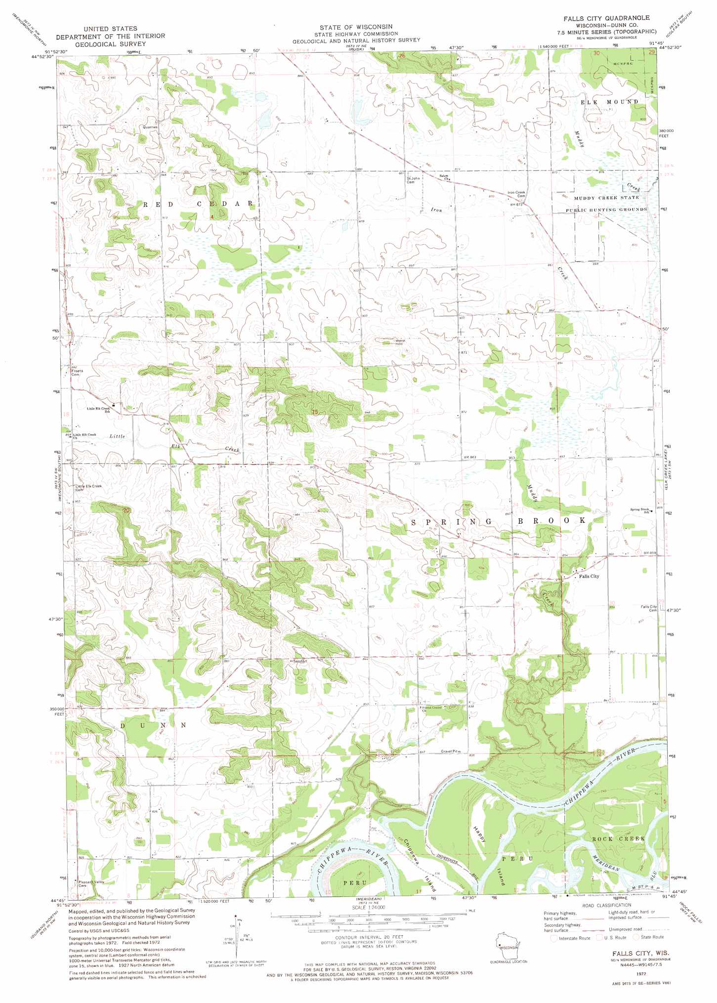
USGS Topo Quad 44091g7 - 1:24,000 scale
| Topo Map Name: | Falls City |
| USGS Topo Quad ID: | 44091g7 |
| Print Size: | ca. 21 1/4" wide x 27" high |
| Southeast Coordinates: | 44.75° N latitude / 91.75° W longitude |
| Map Center Coordinates: | 44.8125° N latitude / 91.8125° W longitude |
| U.S. State: | WI |
| Filename: | o44091g7.jpg |
| Download Map JPG Image: | Falls City topo map 1:24,000 scale |
| Map Type: | Topographic |
| Topo Series: | 7.5´ |
| Map Scale: | 1:24,000 |
| Source of Map Images: | United States Geological Survey (USGS) |
| Alternate Map Versions: |
Falls City WI 1972, updated 1975 Download PDF Buy paper map Falls City WI 2010 Download PDF Buy paper map Falls City WI 2013 Download PDF Buy paper map Falls City WI 2015 Download PDF Buy paper map |
1:24,000 Topo Quads surrounding Falls City
Boyceville |
Wheeler |
Norton |
Colfax North |
Como Creek |
Knapp |
Menomonie North |
Rusk |
Colfax South |
Albertville |
Weston |
Menomonie South |
Falls City |
Elk Creek Lake |
Eau Claire West |
Arkansaw |
Durand North |
Meridean |
Rock Falls |
Mondovi Ne |
Ella |
Durand South |
Tarrant |
Mondovi |
Rossman Creek |
> Back to 44091e1 at 1:100,000 scale
> Back to 44090a1 at 1:250,000 scale
> Back to U.S. Topo Maps home
Falls City topo map: Gazetteer
Falls City: Dams
Falls City Dam elevation 249m 816′Falls City: Islands
Chippewa Island elevation 224m 734′Happy Island elevation 226m 741′
Falls City: Populated Places
Falls City elevation 260m 853′Falls City: Reservoirs
65 Reservoir elevation 249m 816′Falls City: Streams
Iron Creek elevation 261m 856′Muddy Creek elevation 223m 731′
Falls City digital topo map on disk
Buy this Falls City topo map showing relief, roads, GPS coordinates and other geographical features, as a high-resolution digital map file on DVD: