West Concord Topo Map Minnesota
To zoom in, hover over the map of West Concord
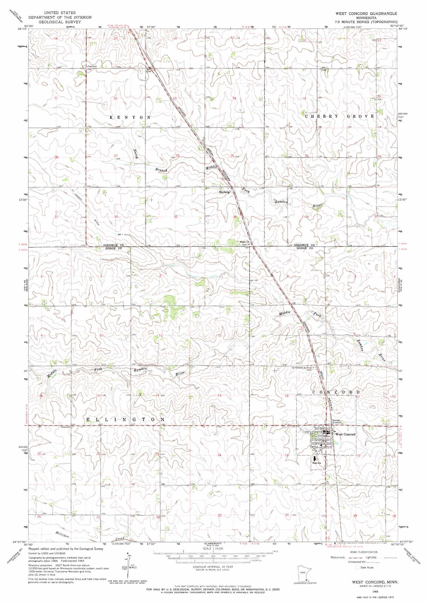
USGS Topo Quad 44092b8 - 1:24,000 scale
| Topo Map Name: | West Concord |
| USGS Topo Quad ID: | 44092b8 |
| Print Size: | ca. 21 1/4" wide x 27" high |
| Southeast Coordinates: | 44.125° N latitude / 92.875° W longitude |
| Map Center Coordinates: | 44.1875° N latitude / 92.9375° W longitude |
| U.S. State: | MN |
| Filename: | o44092b8.jpg |
| Download Map JPG Image: | West Concord topo map 1:24,000 scale |
| Map Type: | Topographic |
| Topo Series: | 7.5´ |
| Map Scale: | 1:24,000 |
| Source of Map Images: | United States Geological Survey (USGS) |
| Alternate Map Versions: |
West Concord MN 1965, updated 1966 Download PDF Buy paper map West Concord MN 2010 Download PDF Buy paper map West Concord MN 2013 Download PDF Buy paper map West Concord MN 2016 Download PDF Buy paper map |
1:24,000 Topo Quads surrounding West Concord
Northfield |
Dennison |
Sogn |
White Rock |
Goodhue West |
Cannon City |
Nerstrand |
Kenyon |
Wanamingo |
Zumbrota |
Medford East |
Moland |
West Concord |
Concord |
Pine Island |
Owatonna |
Owatonna Se |
Claremont |
Dodge Center |
Byron |
Steele Center |
Bixby |
Hayfield Nw |
Hayfield |
Rock Dell |
> Back to 44092a1 at 1:100,000 scale
> Back to 44092a1 at 1:250,000 scale
> Back to U.S. Topo Maps home
West Concord topo map: Gazetteer
West Concord: Canals
County Ditch Number One elevation 369m 1210′West Concord: Parks
Skyberg Wayside Park elevation 364m 1194′West Concord: Populated Places
Skyberg elevation 367m 1204′West Concord elevation 375m 1230′
West Gate Mobile Home Park elevation 375m 1230′
West Concord: Post Offices
Skyberg Post Office (historical) elevation 366m 1200′West Concord Post Office elevation 376m 1233′
West Concord digital topo map on disk
Buy this West Concord topo map showing relief, roads, GPS coordinates and other geographical features, as a high-resolution digital map file on DVD: