Diamond Bluff East Topo Map Wisconsin
To zoom in, hover over the map of Diamond Bluff East
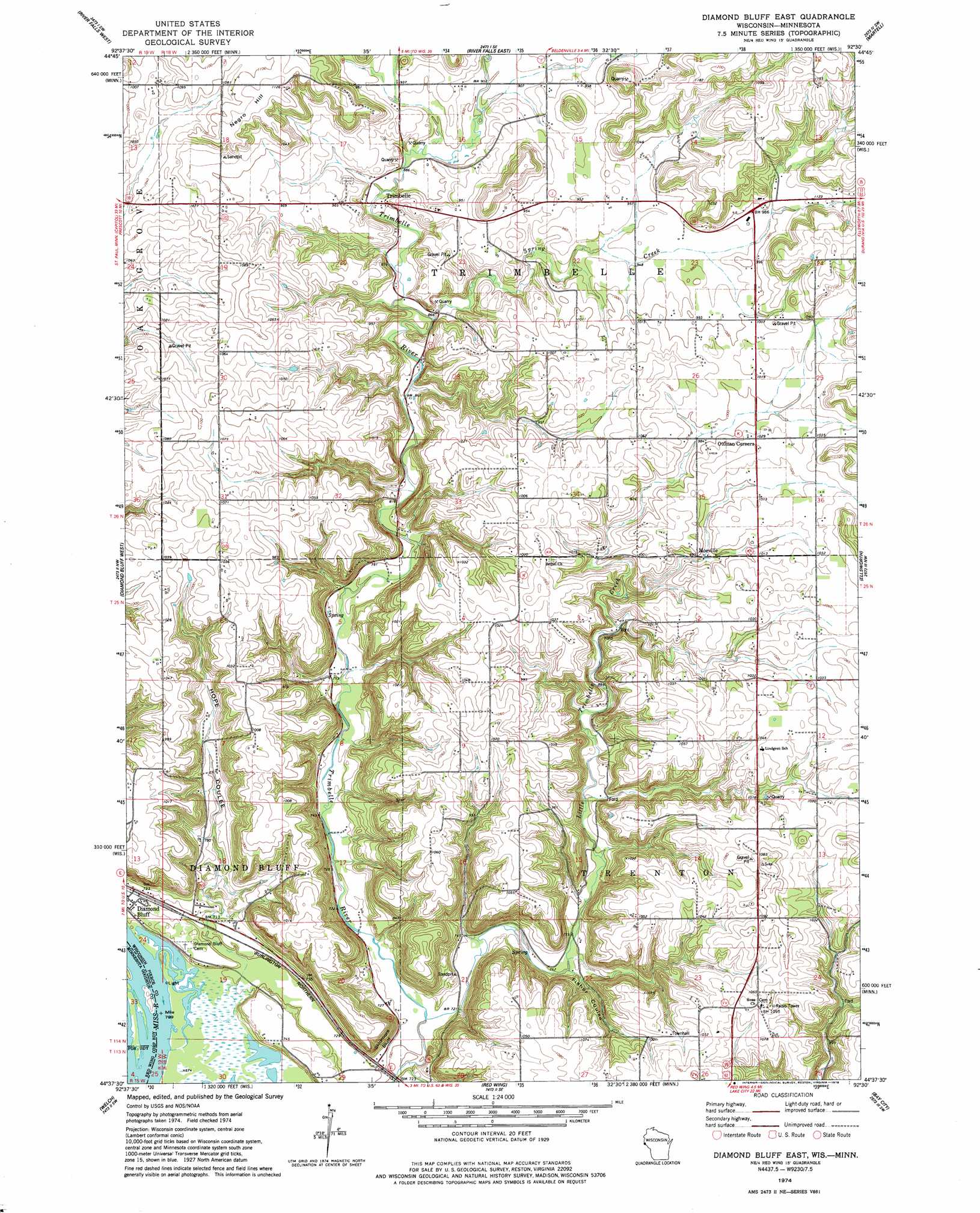
USGS Topo Quad 44092f5 - 1:24,000 scale
| Topo Map Name: | Diamond Bluff East |
| USGS Topo Quad ID: | 44092f5 |
| Print Size: | ca. 21 1/4" wide x 27" high |
| Southeast Coordinates: | 44.625° N latitude / 92.5° W longitude |
| Map Center Coordinates: | 44.6875° N latitude / 92.5625° W longitude |
| U.S. States: | WI, MN |
| Filename: | o44092f5.jpg |
| Download Map JPG Image: | Diamond Bluff East topo map 1:24,000 scale |
| Map Type: | Topographic |
| Topo Series: | 7.5´ |
| Map Scale: | 1:24,000 |
| Source of Map Images: | United States Geological Survey (USGS) |
| Alternate Map Versions: |
Diamond Bluff East WI 1974, updated 1978 Download PDF Buy paper map Diamond Bluff East WI 2010 Download PDF Buy paper map Diamond Bluff East WI 2013 Download PDF Buy paper map Diamond Bluff East WI 2015 Download PDF Buy paper map |
1:24,000 Topo Quads surrounding Diamond Bluff East
Hudson |
Northline |
Roberts |
Baldwin West |
Baldwin East |
Prescott |
River Falls West |
River Falls East |
Martell |
El Paso |
Hastings |
Diamond Bluff West |
Diamond Bluff East |
Ellsworth |
Waverly |
Miesville |
Welch |
Red Wing |
Bay City |
Maiden Rock |
White Rock |
Goodhue West |
Goodhue East |
Lake City Nw |
Lake City |
> Back to 44092e1 at 1:100,000 scale
> Back to 44092a1 at 1:250,000 scale
> Back to U.S. Topo Maps home
Diamond Bluff East topo map: Gazetteer
Diamond Bluff East: Cliffs
Skidmore Bluff elevation 248m 813′Diamond Bluff East: Dams
Bernard Kemmerer G8637 Dam elevation 274m 898′H G Armbruster Group Dam elevation 310m 1017′
Diamond Bluff East: Populated Places
Moeville elevation 300m 984′Ottman Corners elevation 312m 1023′
Trimbelle elevation 271m 889′
Diamond Bluff East: Reservoirs
.46 Reservoir elevation 274m 898′Diamond Bluff East: Streams
Little Trimbelle Creek elevation 213m 698′Spring Creek elevation 262m 859′
Diamond Bluff East: Summits
Negro Hill elevation 342m 1122′Diamond Bluff East: Valleys
Fisher Coulee elevation 249m 816′Hope Coulee elevation 208m 682′
Diamond Bluff East digital topo map on disk
Buy this Diamond Bluff East topo map showing relief, roads, GPS coordinates and other geographical features, as a high-resolution digital map file on DVD: