Wilson Topo Map Wisconsin
To zoom in, hover over the map of Wilson
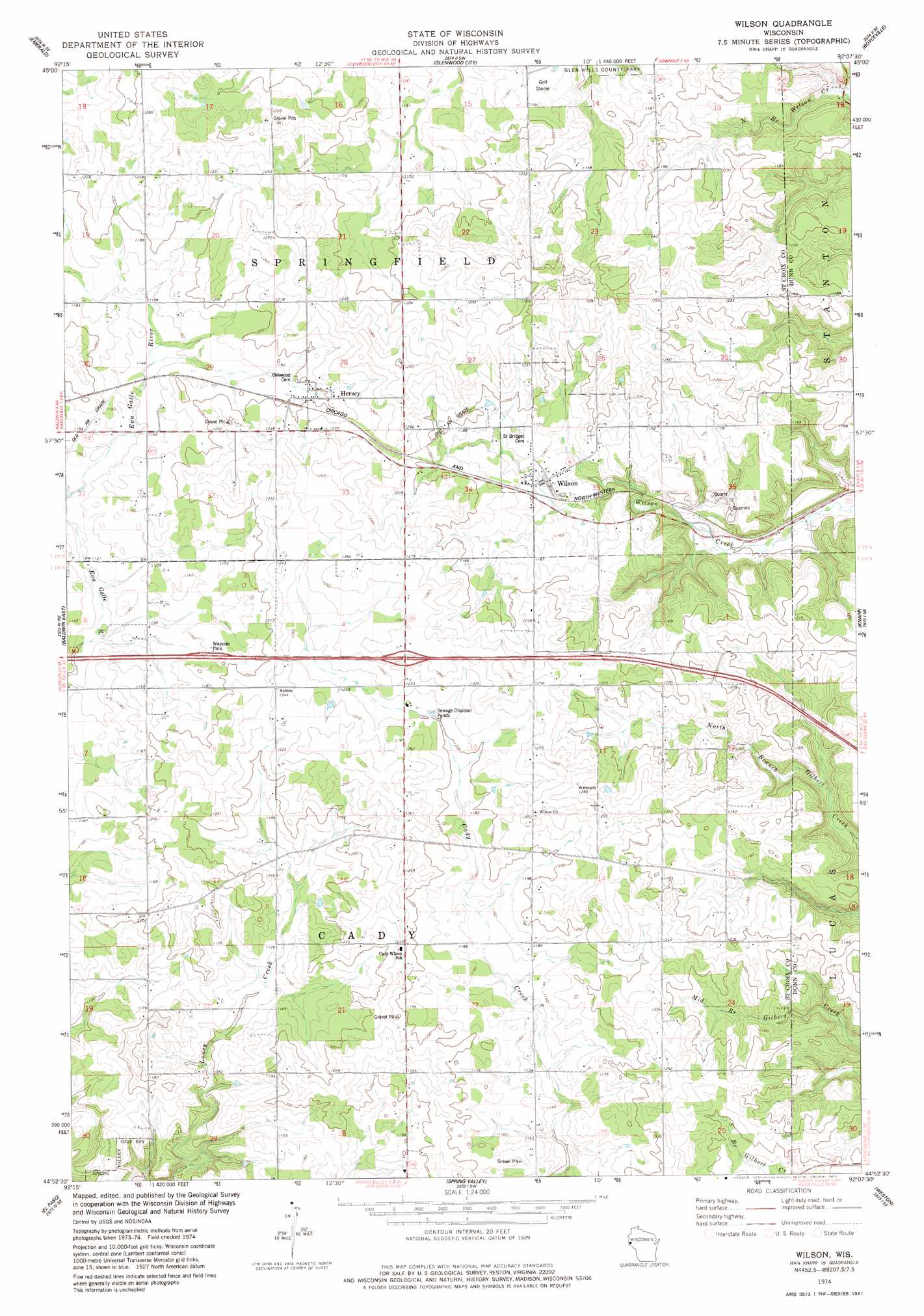
USGS Topo Quad 44092h2 - 1:24,000 scale
| Topo Map Name: | Wilson |
| USGS Topo Quad ID: | 44092h2 |
| Print Size: | ca. 21 1/4" wide x 27" high |
| Southeast Coordinates: | 44.875° N latitude / 92.125° W longitude |
| Map Center Coordinates: | 44.9375° N latitude / 92.1875° W longitude |
| U.S. State: | WI |
| Filename: | o44092h2.jpg |
| Download Map JPG Image: | Wilson topo map 1:24,000 scale |
| Map Type: | Topographic |
| Topo Series: | 7.5´ |
| Map Scale: | 1:24,000 |
| Source of Map Images: | United States Geological Survey (USGS) |
| Alternate Map Versions: |
Wilson WI 1974, updated 1977 Download PDF Buy paper map Wilson WI 2010 Download PDF Buy paper map Wilson WI 2013 Download PDF Buy paper map Wilson WI 2015 Download PDF Buy paper map |
1:24,000 Topo Quads surrounding Wilson
Deer Park |
Forest |
Graytown |
Connorsville |
Ridgeland |
Jewett |
Emerald |
Glenwood City |
Boyceville |
Wheeler |
Baldwin West |
Baldwin East |
Wilson |
Knapp |
Menomonie North |
Martell |
El Paso |
Spring Valley |
Weston |
Menomonie South |
Ellsworth |
Waverly |
Plum City |
Arkansaw |
Durand North |
> Back to 44092e1 at 1:100,000 scale
> Back to 44092a1 at 1:250,000 scale
> Back to U.S. Topo Maps home
Wilson digital topo map on disk
Buy this Wilson topo map showing relief, roads, GPS coordinates and other geographical features, as a high-resolution digital map file on DVD: