Current Lake Topo Map Minnesota
To zoom in, hover over the map of Current Lake
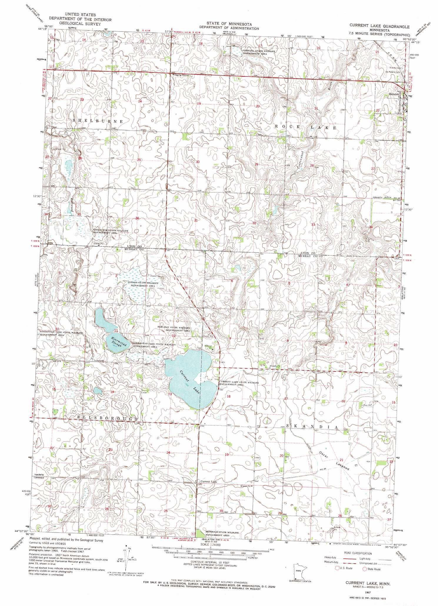
USGS Topo Quad 44095b8 - 1:24,000 scale
| Topo Map Name: | Current Lake |
| USGS Topo Quad ID: | 44095b8 |
| Print Size: | ca. 21 1/4" wide x 27" high |
| Southeast Coordinates: | 44.125° N latitude / 95.875° W longitude |
| Map Center Coordinates: | 44.1875° N latitude / 95.9375° W longitude |
| U.S. State: | MN |
| Filename: | o44095b8.jpg |
| Download Map JPG Image: | Current Lake topo map 1:24,000 scale |
| Map Type: | Topographic |
| Topo Series: | 7.5´ |
| Map Scale: | 1:24,000 |
| Source of Map Images: | United States Geological Survey (USGS) |
| Alternate Map Versions: |
Current Lake MN 1967, updated 1968 Download PDF Buy paper map Current Lake MN 2010 Download PDF Buy paper map Current Lake MN 2013 Download PDF Buy paper map Current Lake MN 2016 Download PDF Buy paper map |
1:24,000 Topo Quads surrounding Current Lake
Arco |
Gislason Lake |
Lynd |
Marshall |
Dudley |
Tyler |
Dead Coon Lake |
Russell |
Marshall Se |
Amiret |
Ruthton Nw |
Ruthton |
Current Lake |
Balaton |
Tracy West |
Holland |
Woodstock |
Balaton Sw |
Hadley |
Currie |
Edgerton North |
Edgerton Ne |
Chandler |
Slayton |
Avoca |
> Back to 44095a1 at 1:100,000 scale
> Back to 44094a1 at 1:250,000 scale
> Back to U.S. Topo Maps home
Current Lake topo map: Gazetteer
Current Lake: Canals
County Ditch Number Fortyeight elevation 469m 1538′Current Lake: Flats
Oscar Lakebed elevation 497m 1630′Current Lake: Lakes
Current Lake elevation 506m 1660′Hjermstad Slough elevation 505m 1656′
Current Lake: Parks
Bergman State Wildlife Management Area elevation 507m 1663′Current Lake State Wildlife Management Area elevation 506m 1660′
Gadwall State Wildlife Management Area elevation 483m 1584′
Nelson State Wildlife Management Area elevation 509m 1669′
Reinhold State Wildlife Management Area elevation 507m 1663′
Shelburne State Wildlife Management Area elevation 503m 1650′
Current Lake: Populated Places
Current Lake elevation 506m 1660′Current Lake: Post Offices
Current Lake Post Office (historical) elevation 506m 1660′Current Lake digital topo map on disk
Buy this Current Lake topo map showing relief, roads, GPS coordinates and other geographical features, as a high-resolution digital map file on DVD: