Dawson Topo Map Minnesota
To zoom in, hover over the map of Dawson
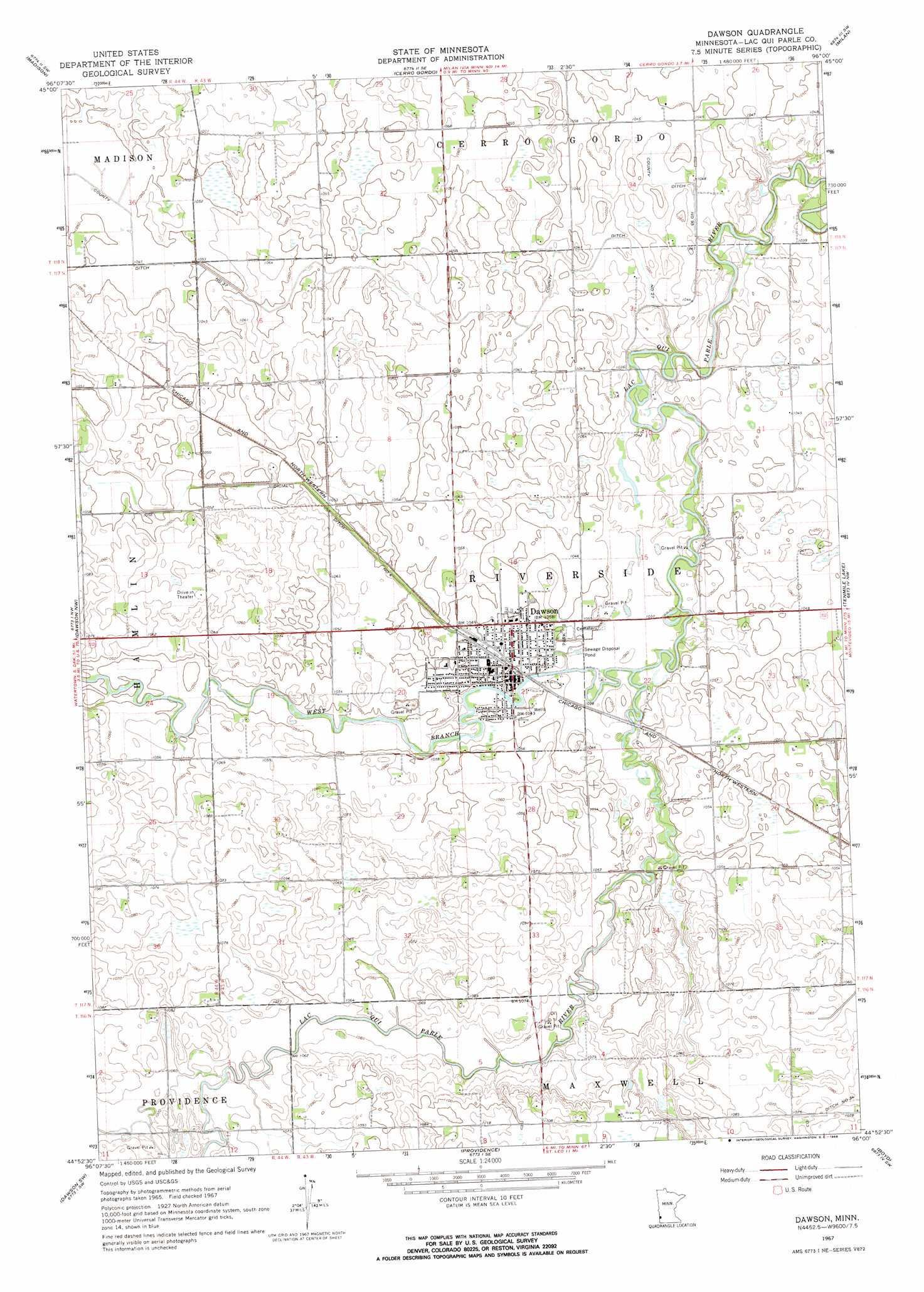
USGS Topo Quad 44096h1 - 1:24,000 scale
| Topo Map Name: | Dawson |
| USGS Topo Quad ID: | 44096h1 |
| Print Size: | ca. 21 1/4" wide x 27" high |
| Southeast Coordinates: | 44.875° N latitude / 96° W longitude |
| Map Center Coordinates: | 44.9375° N latitude / 96.0625° W longitude |
| U.S. State: | MN |
| Filename: | o44096h1.jpg |
| Download Map JPG Image: | Dawson topo map 1:24,000 scale |
| Map Type: | Topographic |
| Topo Series: | 7.5´ |
| Map Scale: | 1:24,000 |
| Source of Map Images: | United States Geological Survey (USGS) |
| Alternate Map Versions: |
Dawson MN 1967, updated 1968 Download PDF Buy paper map Dawson MN 2010 Download PDF Buy paper map Dawson MN 2013 Download PDF Buy paper map Dawson MN 2016 Download PDF Buy paper map |
1:24,000 Topo Quads surrounding Dawson
Bellingham |
Correll |
Appleton |
Milan Nw |
Big Bend City |
Haydenville |
Madison |
Cerro Gordo |
Milan |
Watson |
Mount Wickham |
Dawson Nw |
Dawson |
Tenmile Lake |
Clarkfield Ne |
Gary Se |
Dawson Sw |
Providence |
Boyd |
Clarkfield |
Canby |
Porter |
Saint Leo |
Minneota Nw |
Normania |
> Back to 44096e1 at 1:100,000 scale
> Back to 44096a1 at 1:250,000 scale
> Back to U.S. Topo Maps home
Dawson topo map: Gazetteer
Dawson: Airports
Dawson Municipal Airport elevation 322m 1056′Dawson: Canals
County Ditch Number Nintyfive elevation 317m 1040′County Ditch Number Twentyseven elevation 319m 1046′
Judicial Ditch Number Four elevation 321m 1053′
Dawson: Populated Places
Dawson elevation 319m 1046′Dawson: Post Offices
Dawson Post Office elevation 320m 1049′Dawson Post Office elevation 320m 1049′
Dawson: Streams
West Branch Lac qui Parle River elevation 314m 1030′Dawson digital topo map on disk
Buy this Dawson topo map showing relief, roads, GPS coordinates and other geographical features, as a high-resolution digital map file on DVD:
Eastern North Dakota & Eastern South Dakota
Buy digital topo maps: Eastern North Dakota & Eastern South Dakota