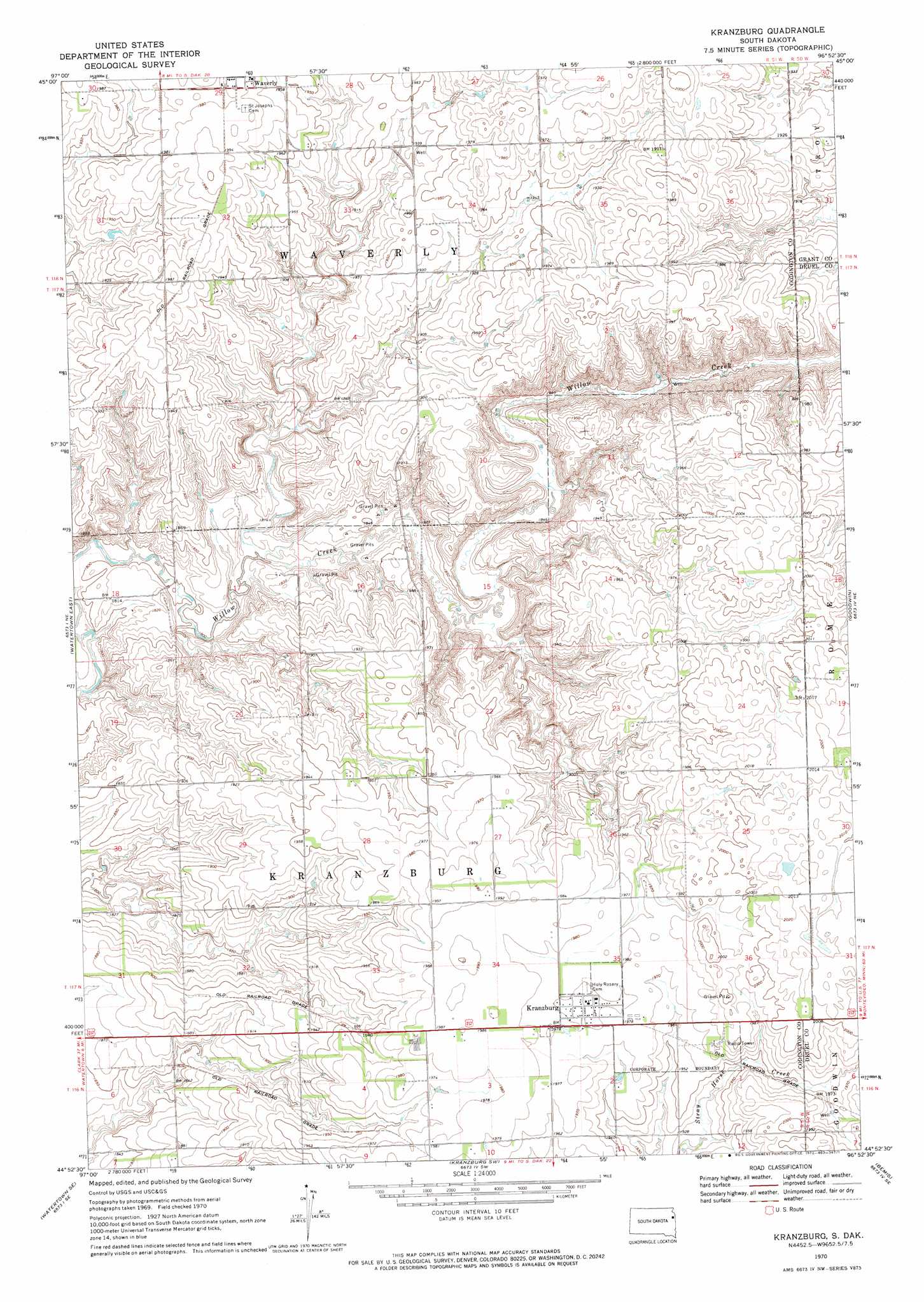
Kranzburg Topo Map South Dakota
To zoom in, hover over the map of Kranzburg
USGS Topo Quad 44096h8 - 1:24,000 scale
| Topo Map Name: | Kranzburg |
| USGS Topo Quad ID: | 44096h8 |
| Print Size: | ca. 21 1/4" wide x 27" high |
| Southeast Coordinates: | 44.875° N latitude / 96.875° W longitude |
| Map Center Coordinates: | 44.9375° N latitude / 96.9375° W longitude |
| U.S. State: | SD |
| Filename: | o44096h8.jpg |
| Download Map JPG Image: | Kranzburg topo map 1:24,000 scale |
| Map Type: | Topographic |
| Topo Series: | 7.5´ |
| Map Scale: | 1:24,000 |
| Source of Map Images: | United States Geological Survey (USGS) |
| Alternate Map Versions: |
Kranzburg SD 1970, updated 1972 Download PDF Buy paper map Kranzburg SD 2012 Download PDF Buy paper map Kranzburg SD 2015 Download PDF Buy paper map |
1:24,000 Topo Quads surrounding Kranzburg
Lonesome Lake |
Still Lake Ne |
Antelope Valley |
Twin Brooks |
Milbank West |
Still Lake |
Still Lake Se |
South Shore |
Stockholm |
La Bolt |
Watertown West |
Watertown East |
Kranzburg |
Goodwin |
Tunerville |
Pelican Lake |
Watertown Se |
Kranzburg Sw |
Bemis |
Clear Lake North |
Hayti |
Castlewood |
Dempster |
Estelline Ne |
Clear Lake South |
> Back to 44096e1 at 1:100,000 scale
> Back to 44096a1 at 1:250,000 scale
> Back to U.S. Topo Maps home
Kranzburg digital topo map on disk
Buy this Kranzburg topo map showing relief, roads, GPS coordinates and other geographical features, as a high-resolution digital map file on DVD:
Eastern North Dakota & Eastern South Dakota
Buy digital topo maps: Eastern North Dakota & Eastern South Dakota